JOURNEY TO THE HEART OF MY TRUTH – EL CAMINO DE SANTIAGO 2009
Day 1, Saturday, 23 May 2009, San Jean Pied-de-Port (SJPP), France to Roncesvalles, Spain
Spiritual In-sight:
Trust your fellow pilgrims as you would your best friend; you really have no choice and the presumption of close friendship creates the reality.
| Click here for Day 1 Photo Gallery |
|---|
~5:30 AM – Awake in Private Residence, No. 37 Rue de la Citadelle, SJPP, France
I’m up early, get my things together, and descend the stairs to the main floor.
~6:00 AM – Breakfast in kitchen at Private Residence, No. 37 Rue de la Citadelle
Breakfast: café con leche + baguette + jam.
I join our host in the kitchen for breakfast. I discover Anna already in the kitchen, and then Niko walks in; we finally meet formally. I remember him from the train (TER) yesterday, and dinner last evening with Anna. I’m sure we were introduced, but I hadn’t caught his name until now. The simple breakfast is exactly what I need to jump-start my first day on El Camino.
~6:45 AM – Depart Private Residence, No. 37 Rue de la Citadelle
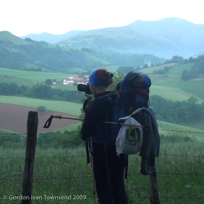
I walk with Niko and Anna, but usually closer to Niko. Anna has her SLR Camera, and stops frequently to take pictures of the incredible scenery. I learn that Anna is from Poland and 39 years old, and Niko is from Germany and 29. I’m 49 and marvel at the numerological similarities of our ages. Coincidence? I think not…
We walk the Route de Napoléon (literally “Route of Napoleon,” AKA highway D-428) since it’s the most scenic and the preferred route in good weather. The day is bright with a hint of fog in the early hours; what a truly spectacular day to start such an adventure.
Note: The alternate route through Valcarlos (along highway D-933 in France & N-135 in Spain) is recommended in bad weather. I wondered if Napoléon experienced such beauty here. The Cize Pass (AKA Col. Cize in French) has long been an important mountain pass from France across the Pyrenees into Spain. Cize is a region of Lower Navarre in Southwestern France and includes San Jean Pied-de-Port and the River Nive.
Anna tells me that she has traveled extensively including time in Puebla, México studying Spanish. We speak some in Spanish, but mostly in English, our other common language. Apparently, she also speaks Polish (her native tongue), Russian, German, and French. Did I miss any?

View SSE along D-428 (El Camino) towards 3 pilgrims walking ahead – 1 pilgrim pulls 2-wheel cart connected at waist & wears light backpack – Day 1
~8:15 AM – Arrive Honto (AKA Huntto in Basque)
Anna tells us she will stay here when we’re ready to leave. I fear she is carrying too much weight with an overstuffed pack on her back, and a large SLR camera-bag hanging in front.
~8:45 AM – Depart Honto
Soon, I’m missing Anna and hope we meet again. I regret not getting her contact information or giving her mine.
~9:25 AM – Arrive Orisson
I fill my water bottle at the fountain, and sit on a picnic table outside. I eat a few of the snacks from the plastic box in my pack.
~9:45 AM – Depart Orisson
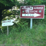
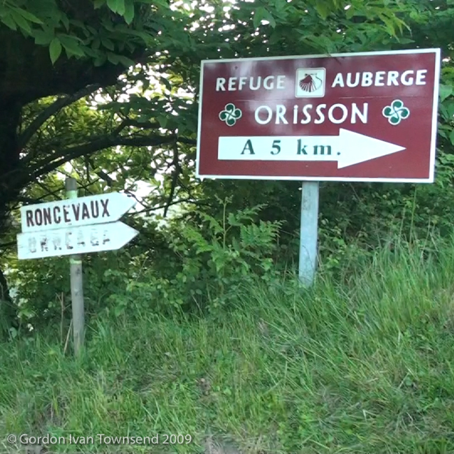
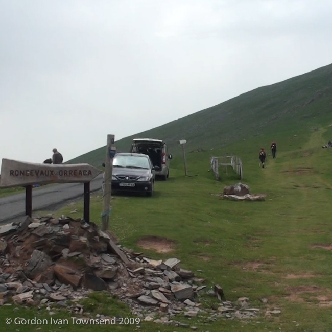
View ESE from D-428 (El Camino) towards metal-signs: “Roncevaux,” “Orreaga” & “Refuge-Auberge Orisson a 5 km” – Day 1
We continue to climb. I try to match Niko step-for-step; however, with his 29 years and my 49, I’m sure I’m suffering more than he. When we discover we’re both Scouts, we have lots to share and exchange wonderful stories of our youthful adventures.
~11:00 AM – Pass statue of Virgen de Orisson
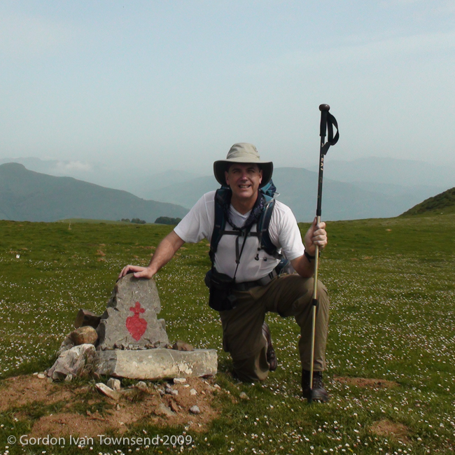
We stop at a unique road-side monument marked with a red sacred-heart. Niko takes a photo of me kneeling beside the monument, and we quickly move on.
Note: The monument (marked with a red sacred-heart) identifies the nearby statue: Virgen de Orisson. I did not notice the statue, and we did not walk the short distance to see it.
~11:40 AM – Pass numerous Vultures at Col. d’Elhursaro
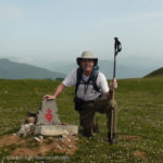
View N from D-428 (El Camino) towards me kneeling beside road-side monument (w/ red sacred-heart): identifies nearby statue Virgen de Orisson – Photo by Nico – Day 1
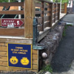
View S from D-428 (El Camino) towards drinking-water fountain across street from Albergue Orisson – Day 1
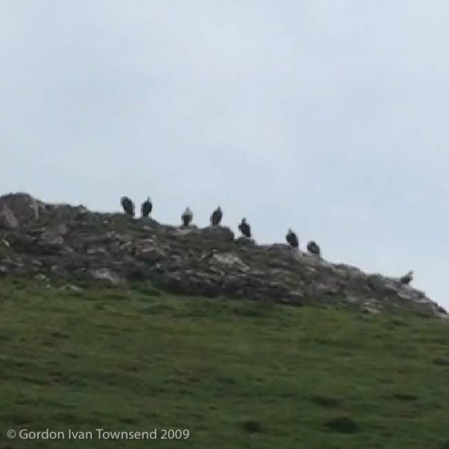
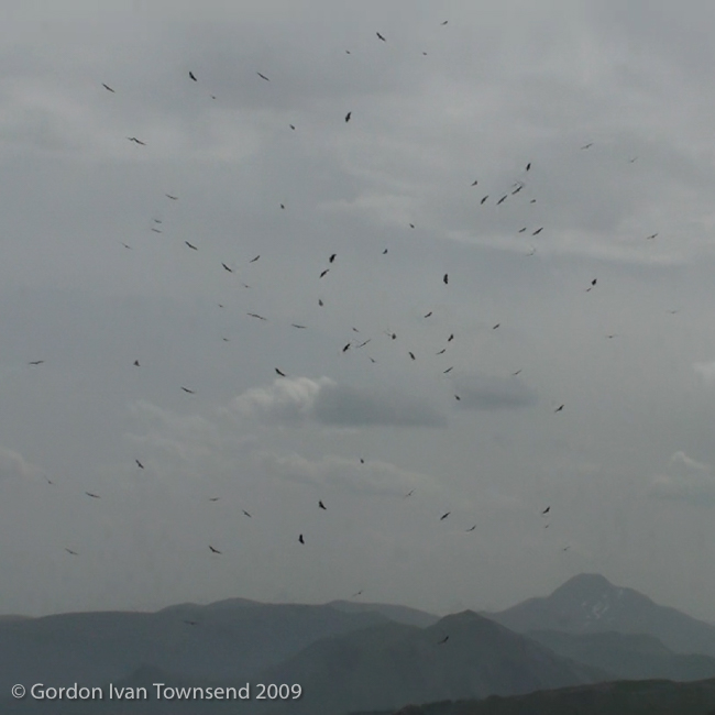
We’re still on highway D-428, and near the point where D-128 splits off and travels west to the community of Arnéguy (on D-933, the alternate, bad-weather, route across the Pyrenees). There are numerous vultures lined along the crest of a nearby hill (AKA Committee of Vultures), and many more circle above it (AKA Kettle of Vultures).
I stop a moment to shoot a few short videos. I search my mind for some sort of spiritual significance in this spectacle: both a Committee of Vultures to study us, and a large Kettle of Vultures spiraling above. In the end, I realize that sometimes vultures are just vultures, doing what vultures do.
~11:50 AM – Stop & Take Photo of Lone Vulture
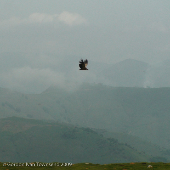
We’re on highway D-428, ~550 m past the point where D-128 splits off to the West. A single vultures flies past along the edge of ridge we’re on. I stop to take a single photo and short 1-sec video.
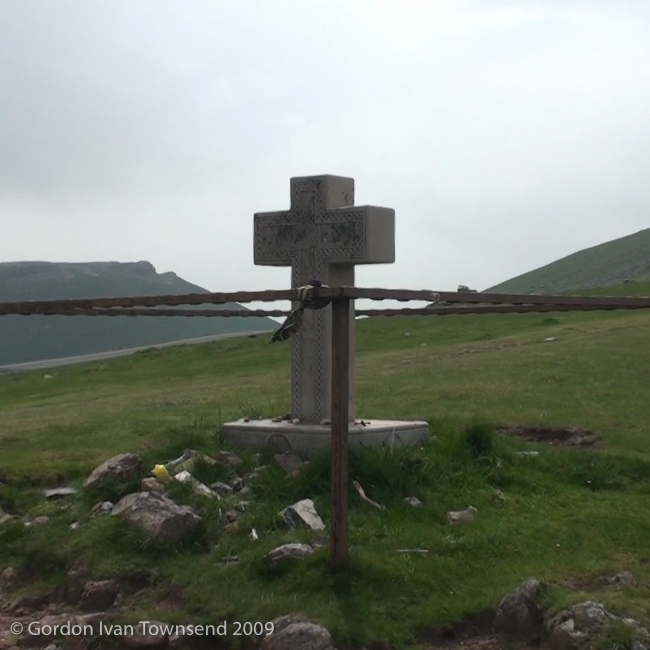
~12:10 PM – Arrive Small Cement Cross (AKA La Cruz de Thibault)
This is the point where a wooden way-marker indicates a departure from highway D-428 onto an unpaved trail. It’s a perfect place to rest a moment, and review our maps.
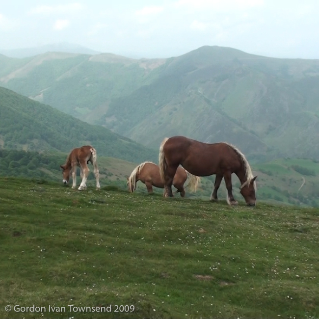
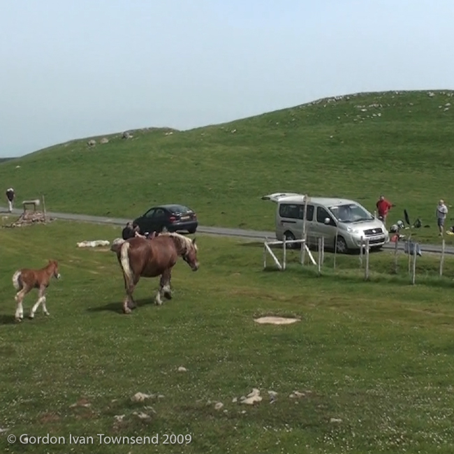
A Mare with her colt, and a few other Pyrenees Ponies, come to greet the numerous pilgrims here. I wonder if they’re domesticated or wild, but note that the Mare is wearing a halter. Are they looking for handouts, or are they simply curious? Is Mom teaching her colt how to score tasty treats from friendly pilgrims?
Niko and I sit on the grass, lean on our packs, and face west into the valley below. We enjoy a light lunch from the things in our packs. Near the roadway a large group of pilgrims, traveling without heavy packs, congregate around a van that’s serving lunch. I guess the van also carries their heavier packs and/or suitcases.
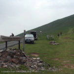
View S towards wooden way-marker at point where El Camino departs D-428 & follows path-way to Col. de Lepoeder – Day 1
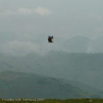
View NW from D-428 (El Camino) towards single vulture flying NE – view of valley & mountain ridges beyond – Day 1
After lunch, we sit, relax, and absorb the natural beauty here. Then, in an instant, a dark cloud advances from the West. We jump to our feet and don our rain-gear just as a dark, wet fog engulfs us. Immediately, the visibility drops from 10+ miles to mere feet. In another instant, the fog is gone, and infinite visibility returns.
Note: I’m left with a serious lesson. It must be easy to get lost in the Pyrenees when weather conditions deteriorate so quickly. I was glad our bout with bad weather only lasted a few minutes.
~12:55 PM – Depart Small Cement Cross
We follow the pathway now, away from the main road.
~1:30 PM – Pass Stone Way-Marker & Arrive Fontaine de Roland
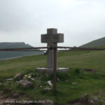
View ESE towards Small Cement Cross at point where El Camino departs D-428 & follows path-way to Col. de Lepoeder – Day 1
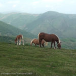
View SW from rest-area along El Camino (near Small Cement Cross) towards 3 Pyrenees ponies & valley beyond – Day 1
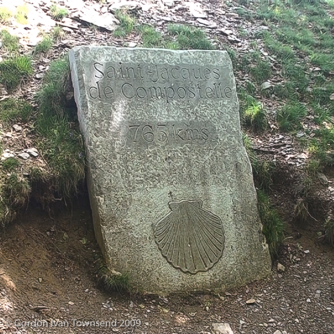
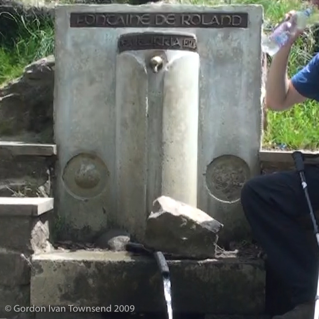
We pass a stone way-marker on left (inscription = “Saint~Jacques de Compostelle 765 kms”), and ~130 m later arrive at the Fontaine de Roland (literally “Fountain of Roland”). The fountain is on the French-side of the border-crossing into Spain. We fill our water bottles, and talk with Marsha, also from Germany, who we meet there.
~1:40 PM – Depart Fontaine de Roland & Enter Spain
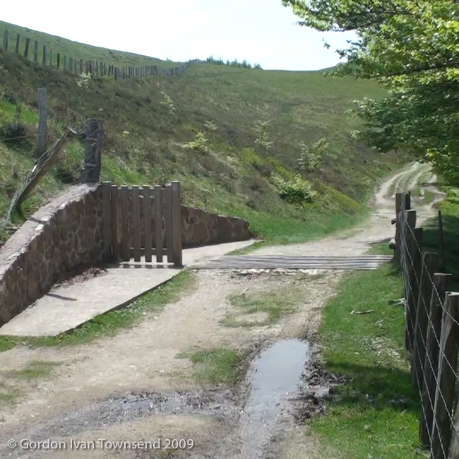
The border is marked with a cattle-guard, a pedestrian gate on the left, a few signs, and little else. There are no border guards, and the whole event feels a bit surreal.
~1:45 PM – Arrive at Wooden Sign-post
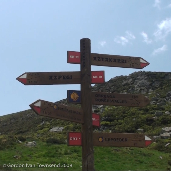
We pass a wooden sign-post that identifies multiple trails including: GRT-7 (2 directions), GR-12 (2 directions), and El Camino (points toward Santiago).
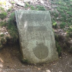
View E (on L) from path-way (El Camino) towards way-marker (carved stone): “Saint~Jacques de Compostelle 765 kms” – Day 1
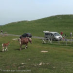
View NNW towards D-428 from rest-area along El Camino (near Small Cement Cross) towards Pyrenees Ponies (mare & colt) approaching lunch-van of pilgrim-group – Day 1
Note: GR = Gran Recorrido (literally “Grand Tour”) & GRT = Gran Recorrido Transfronterizos o Transpirenaicos (literally “Trans-border” or “Trans-Pyrenean”).
~2:45 PM – Arrive Col. de Lepoeder
Note: Col. de Lepoeder is the point of highest elevation as we cross the Pyrenees. Col. = Saddle between peaks (from Latin collum for neck – literally “mountain pass”).
For several hours now, we pass one indescribable vista after another with visibility limited more by the inadequacies of my eyes than the clarity of the air. I’m in a place of immense beauty that leaves me feeling exposed, vulnerable and totally at effect of the natural world around me. Here, I’m not a separate being, but an integral piece of the vast ecological system (AKA Gaia). I’m at the top of the world, and reminded of the final line in High Flight by John Gillespie Magee, Jr. (1922–1941, American Aviator and Poet): “Put out my hand, and touched the face of God.”
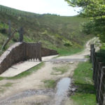
View S along path-way (El Camino) towards border-crossing into Spain – front of Fontaine de Roland – Day 1
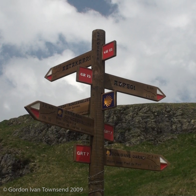
We see Roncesvalles and Burguete in the valley below, and find another wooden sign-post just below Col. de Lepoeder. It identifies the same trails as before: GRT-7 (2 directions), GR-12 (2 directions), and El Camino (points toward Santiago). Here, there are 2 routes into Roncesvalles: the steep, direct path down the mountain through the forest (following GRT-7), or the road route (recommended by the sign) with its shortcuts across numerous switchbacks. Nico suggests the road route, and we’re off again. Is he concerned for me, or would this be his choice if alone?
~2:50 PM – Depart Col. de Lepoeder
~3:30 PM – Pass WWII Bunker
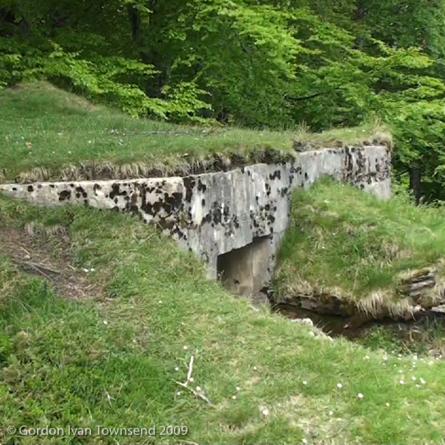
I see La Capilla de San Salvador just ahead as we follow another shortcut across a switchback. On the left, in the trees, we pass a WWII bunker hidden in the overgrowth. It faces south and evidently was built to control access to the mountain pass, and possibly to keep Iberians in Iberia.

View S from path-way (El Camino) towards wooden sign: GRT-7 (2 directions), GR-12 (2 directions) & El Camino (points R toward Santiago) – Day 1
~3:40 PM – Arrive La Capilla de San Salvador
Note: La Capilla de San Salvador = Holy Savior’s Chapel.
The chapel is on Highway N-135, the pilgrim’s alternate, bad-weather, route across the Pyrenees. I’m tired and feel a need to rest, but the Albergue is close, and I feel equally pulled to finish the final few kilometers of the day. Also, I don’t want to slow Niko any more than I already have.
~3:50 PM – Depart La Capilla de San Salvador
~4:00 PM – Arrive Calle Roncesvalles
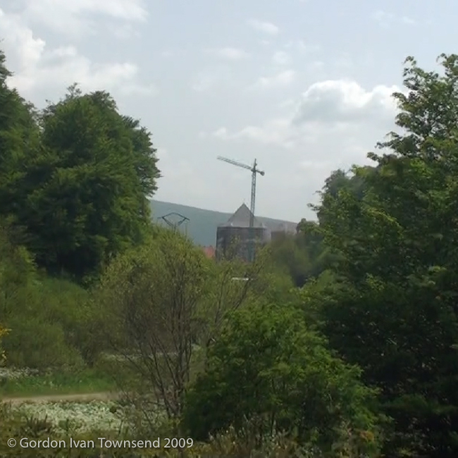
I’m at the end of a forested path from La Capilla de San Salvador where it converges with the unpaved GRT-7 (AKA Calle Roncesvalles). The pointed top of a tower at the monastery, other rooftops, and a construction crane are visible just above the trees. We’re really close now, and I’m lost in sensory overload, again.
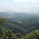
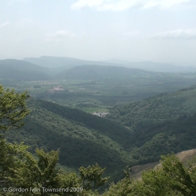
View SW (on L) from NA-2033 (El Camino) towards forested valley of Roncesvalles & Burguete ~250 m after Col. de Lepoeder – Day 1

View NNW from path-way (El Camino) towards wooden sign (below Col. de Lepoeder): GRT-7 (2 directions), GR-12 (2 directions) & El Camino (points L toward Santiago) – Day 1
~4:10 PM – Enter Pilgrim’s Office at Monastery in Roncesvalles (AKA Orreaga in Basque)
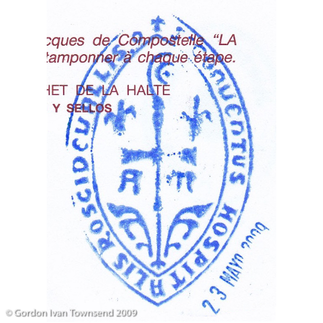
I join a line of ~20 pilgrims to have my pilgrim’s passport stamped, register myself at the Albergue (literally “Shelter”), and pay for my bed. I lose track of Niko in all the excitement. He was only 2-3 places ahead of me in line, but now he’s gone. Soon, I’m out of the pilgrim’s office, turn right, cross the street (N-135), and enter the cavernous Albergue.
Cost (bed) = €6.00
~4:30 PM – Enter Albergue Roncesvalles, Locate Bunk & Stash Pack
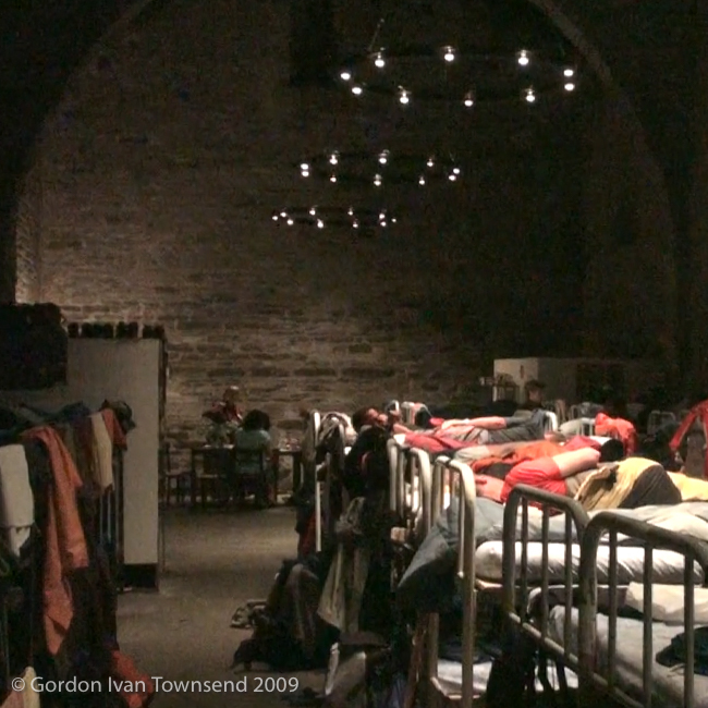
I find the first available bed, an open top-bunk mid-way along the right side of the hall. In a moment I stash my stuff, and check out the facilities. I clean up, wash a few items of clothing, and spot the young man from South Korea who I met on the train (TER) into SJPP. On the train he had his things in plastic shopping bags, I didn’t see a backpack, and he asked if I thought he could buy a sleeping bag in SJPP.
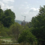
View SSW from forested trail at convergence with unpaved GRT-7 (AKA C/ Roncesvalles) – top of monastery tower & construction crane visible – Day 1
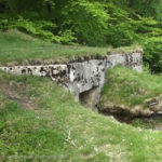
View E (on L) from unpaved shortcut across switchback on NA-2033 (El Camino) towards S-facing WWII bunker (overgrown & hidden in trees) – Day 1
I remember thinking that he would certainly be delayed in SJPP looking for equipment, and might never even start the trip. I certainly was wrong! Here he is occupying the bunk immediately adjacent to mine, and seems to be doing quite well. He changes a 2-Euro coin for two 1-Euro coins, so I can use the Internet.
It starts raining, and I’m happy to be in a dry place.
~6:25 PM – Check email & Send message to Mom
I walk to the internet kiosks in the basement of the Albergue. I log on, check my email in-box, and send a quick message to Mom:
Saturday, 23 May 2009 – 6:29 PM
Mom,
Lots of internet access at youth Hostels and along the way. Tonight is cheap at 1€ (Euro) per 20 minute. 1 Euro is about $1.40 US.
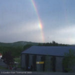
View SSE from dinning room of Casa Sabina towards rainbow terminating behind Albergue – Roncesvalles – Day 1
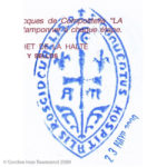
Pilgrim’s Stamp: “S’CONVENTUS HOSPITALIS ROSCIDEVALLIS.o” – Monastery & Albergue – Roncesvalles – Day 1
So far I have not found a cellular, but finished 25.5 km, started at 6:45 am and ended at 4:30 pm. I am tired and sore, but still have 6 weeks to go……
Love to all,
Gordon
Note1: I was not planning to stay in Youth Hostels, but used that term because I expected it to be more universally understood by my family and friends in the US. In my opinion, the concept of Youth Hostel, Albergue, and Refugio is very similar; however, the latter 2 cater only to pilgrims.
Note2: I originally planned to purchase or rent a mobile telephone (cellular) in Spain for emergencies, but had not located a suitable product. At this point, I’m thinking it might not be necessary.
Cost (coin-operated internet kiosk, 20 min.) = €1.00
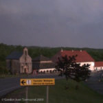
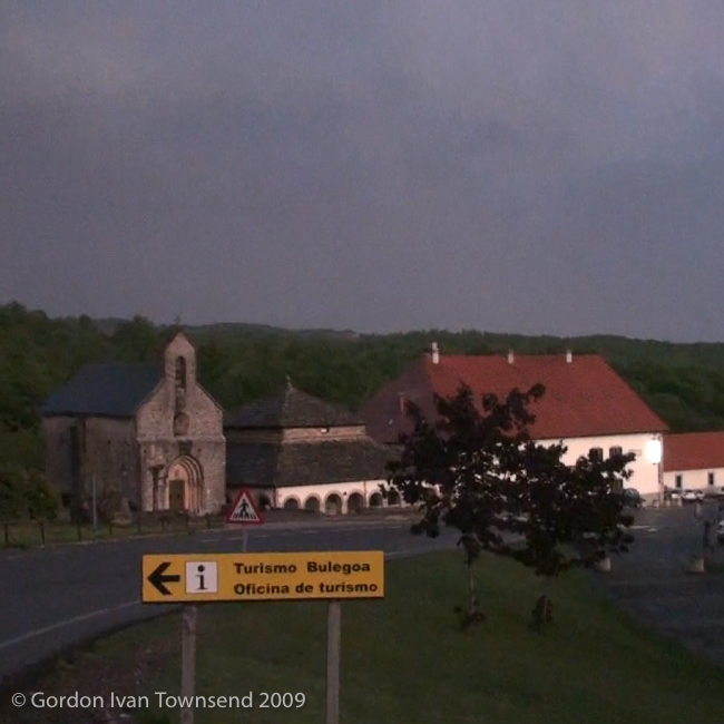
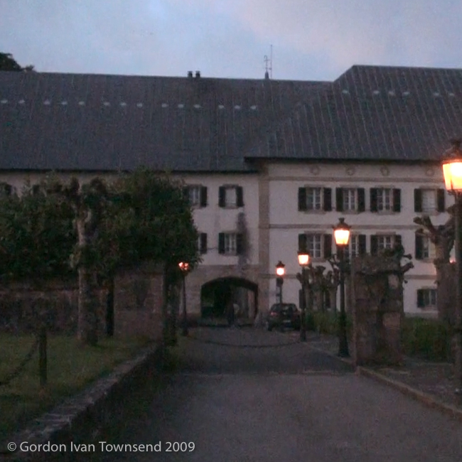
View SE from N-135 (across road from Casa Sabina) towards Iglesia de Santiago (Siglo XIII), La Capilla de Sancti Spiritus (Siglo XII) & La Posada Hotel – Roncesvalles – Day 1
~7:00 PM – Depart Albergue, Check dinner options & Return to Albergue Roncesvalles
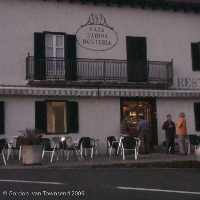
I check the dinner menu at La Posada, and then walk to Hostal Casa Sabina to check their dinner menu. I prefer the menu at Casa Sabina, but their pilgrim’s menu lists salmon as the main course. Their pilgrim’s menu is served at 7:00 PM, but I hope to get a vegetarian-special substitution by waiting until the regular dinner service at 8:30 PM.
~7:15 PM – Sit & Write in Journal, Albergue Roncesvalles
I wait for the regular dinner service to start, and begin writing in my journal.
~7:30 PM – Heavy Rain Begins, Albergue Roncesvalles
I’m inside and protected from the heavy rain. I continue writing and complete a total of 4 pages in my journal including details about some latent fears on my last night in Paris, brunch yesterday (Day 0), dinner & accommodations last night in SJPP, breakfast this morning (Day 1), and dinner tonight. I also include details of my trip from Paris to SJPP, and my first day on El Camino.
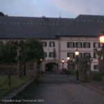
View N from N-135 towards main entrance of Monastery (Real Colegiata de Santa María) – Roncesvalles – Day 1
On page 4, I write, “Today we started at 6:45 AM and climbed 1282 m (4206 feet) from San Jean to Col. de Lepoeder (our highest point & top of the Pyrenees), then 482 m (1581 feet) back down to Roncesvalles. The up was hard, but the down, at the end of the day, harder. The flat sections were the nicest.
“We rested ~30 min at Honto where we left Anna, then ~20 min at Orisson, ~45 min at the Cement Cross where we left the paved road, ~10 min at the spring before entering Spain, and ~10 min at La Capilla de San Salvador.
“I am so glad to be resting now and writing in my journal.”
Note: This is the first entry in my journal, and I’m still trying to settle on a style and focus. I decide to record all expenses on El Camino as well as details of how, why, and where the money is spent. That’s a perfect hook for me, I’m certain, and the best way to assure that I stay on task, and keep up with entries.
~8:30 PM – Depart Albergue
I enter the Bar-Restaurante of Hostal Casa Sabina, and wait in the bar until ~9:00 PM when I’m finally seated in the restaurant.
~9:00 PM – Dinner at Bar-Restaurante of Hostal Casa Sabina
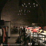
View SE from foot of my top-bunk along line of bunks towards entrance of Albergue – Roncesvalles – Day 1
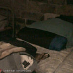
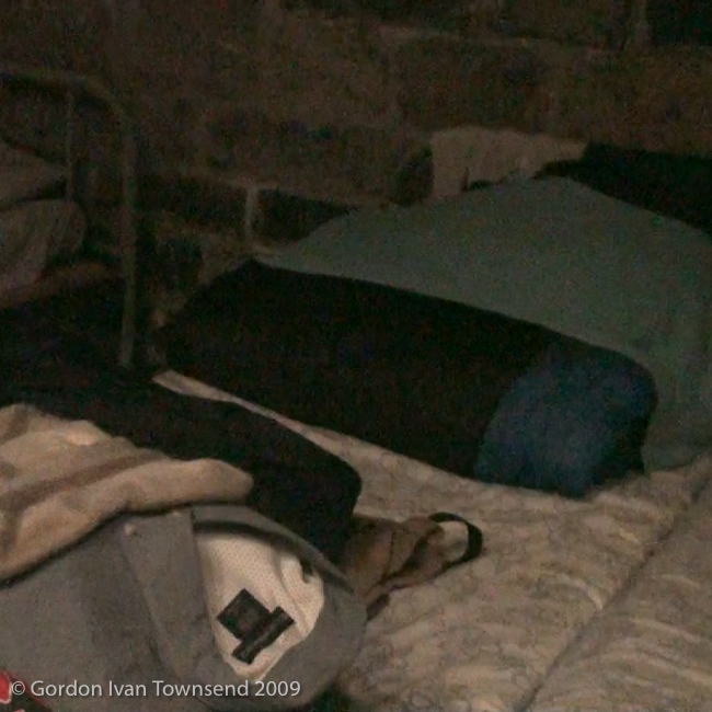
View N from foot of top-bunk towards my clothes for next day & sleeping bag (in stuff sack) – sheets & pillow (provided by Albergue) – Roncesvalles – Day 1
Dinner (vegetarian-special pilgrim’s menu): blended potato & vegetable soup + baguette + 2 fried eggs (substitute for fish-of-the-day) + french fries + red wine + large bottle of water (1.5 lt plastic bottle) + yogurt for dessert.
Cost (dinner) = €9.00
~9:10 PM – Shoot Videos at Bar-Restaurante of Hostal Casa Sabina
The rain subsides for a short time, and I see a rainbow through the window. The rainbow seems to terminate just behind my Albergue across the street. Is that some sort of sign? I shoot a few short videos of the rainbow, and return to my dinner.
~9:30 PM – Shoot more Videos
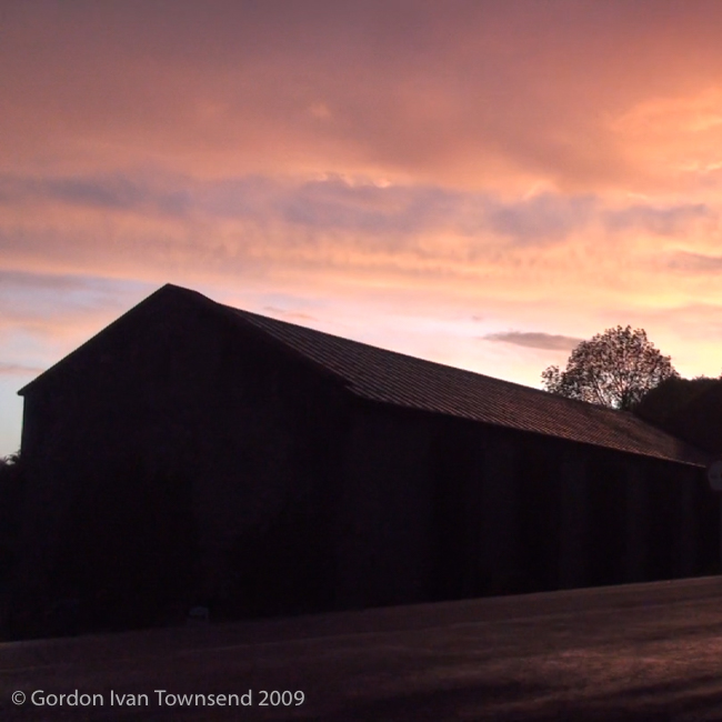
I finish dinner, and shoot a few more short videos out the window. I walk outside and shoot a few more from a point at the heart of Roncesvalles along N-135. I record these images: front of Casa Sabina, front of Monastery, front of Iglesia de Santiago – Siglo XIII (literally “Church of Santiago – 13th century”), front of La Capilla de Sancti Spiritus – Siglo XII (literally “The Chapel of the Holy Spirit – 12th century”), La Posada Hotel, and a spectacular sunset over the Albergue where I’m sleeping tonight.
I enter my Albergue just as the rain returns.
~9:40 PM – Shoot Videos inside Albergue
I shoot short video of my top-bunk showing my dry clothes for tomorrow, sleeping bag, wet clothes hung to dry at head of bed, and bedding (sheets & pillow) provided by Albergue. The second short video is back along center-line of bunks toward main entrance and wall at southeast end of building.
~10:00 PM – Lights-out & Quiet-time
Hasta mañana (literally “until tomorrow”).
Life Lessons, Camino Angels & Spiritual Hind-sight
(Day 1812, 8 May 2014, Copperas Cove, TX):
LL1.1 Day 1 – Life Lesson #1
At ~6:25 PM, I spoke with the young Korean again (the one I originally met on the TER train from Bayonne to SJPP), and asked him to make change so I could use the internet. Again, I don’t get a name or contact information. I regret not asking for this information, and I especially regret doubting his tenacity or ability.
I vow to be more engaged with the people I meet on El Camino, and especially to ask for their names and contact information. Some of these fellow pilgrims will become life-long friends.
LL1.2 Day 1 – Life Lesson #2
At ~9:00 PM, I’m served a full bottle of wine with my meal. Did I drink the whole bottle myself? I just don’t remember…
At that time in my life, I didn’t usually drink much alcohol, often no more than a dozen or so drinks a year, and usually only a dark beer, like Shiner Bock. I usually avoided wine since I was especially averse to the morning-after headache and right-kidney pain that greeted me more often than not. However, when I travel I’ve always liked to immerse myself in the energy of a place, the culture, and its people. I find local cuisine an essential element of the experience, and often the most common denominator.
In the spirit of local custom, I decided to drink my fill of the ubiquitous red wine whenever and wherever it was offered. I never had a headache or kidney pain!
LL1.3 Day 1 – Life Lesson #3
At ~10:00 PM, just before falling asleep, I realized that every location along El Camino has multiple names (both formal and informal), and each name could be written or spoken in one of three major languages (French, Spanish or English) as well as at least one regional language. Basque (AKA Euskara in the Basque language) was common in Northeastern Spain and Southwestern France, where I began El Camino, and Galician is common in Northwestern Spain, where I’ll finished El Camino.
With pilgrims arriving from every corner of the globe, a common language was a challenge for everyone. In my naiveté, I had thought Spanish would be the de facto common language, and I was constantly surprised that English was more of a common denominator. There was so much to take in (so much more than I ever expected) on this moving Tower of Babel and virtual-UN called El Camino de Santiago.
The intensity of the experience revealed itself, and for a moment demanded my full attention with little room for random thoughts or worry. In that moment, my yesterdays were forgotten, and thoughts of tomorrow faded. There was a feeling of calm and confidence since I was fully present with all intention focused on the moment at hand. Then, I slept!
| DAY 1 STATISTICS |
|---|
| SATURDAY, 23 MAY 2009 SAN JEAN PIED-DE-PORT (SJPP), FRANCE TO RONCESVALLES, SPAIN Total Distance Walked (with Backpack) = 15.85 Miles (25.51 km) (36,130 steps) Start Point = Private Residence, No. 37 Rue de la Citadelle, San Jean Pied-de-Port Start Time = ~6:45 AM End Point = Albergue Roncesvalles End Time = ~4:30 PM Total Travel Time (including breaks) = 9.75 hrs (9 hrs & 45 mins) Average Stride = 27.80 inches (70.60 cm) Average Speed (including breaks) = 1.63 MPH (2.62 KPH) Key Landmarks = San Jean Pied de Port (SJPP), Honto (AKA Huntto in Basque), Orisson, Col. Lepoeder, Capilla de San Salvador, Roncesvalles Total Daily Expenses = €16.00 |
Photo Credits
1. View SW from D-428 (El Camino) towards Anna at edge of road-way & scenic valley beyond – Day 1 (20090523-01-00165-1.jpg, 7:29 AM) (43°8’27” N 1°14’28” W) Click to view on map.
2. View SSE along D-428 (El Camino) towards 3 pilgrims walking ahead – 1 pilgrim pulls 2-wheel cart connected at waist & wears light backpack – Day 1 (20090523-02-00166-1.jpg, 7:31 AM) (43°8’25” N 1°14’26” W) Click to view on map.
3. View ESE from D-428 (El Camino) towards metal-signs: “Roncevaux,” “Orreaga” & “Refuge-Auberge Orisson a 5 km” – Day 1 (20090523-03-00171-1.jpg, 7:47 AM) (43°7’59” N 1°14’18” W) Click to view on map.
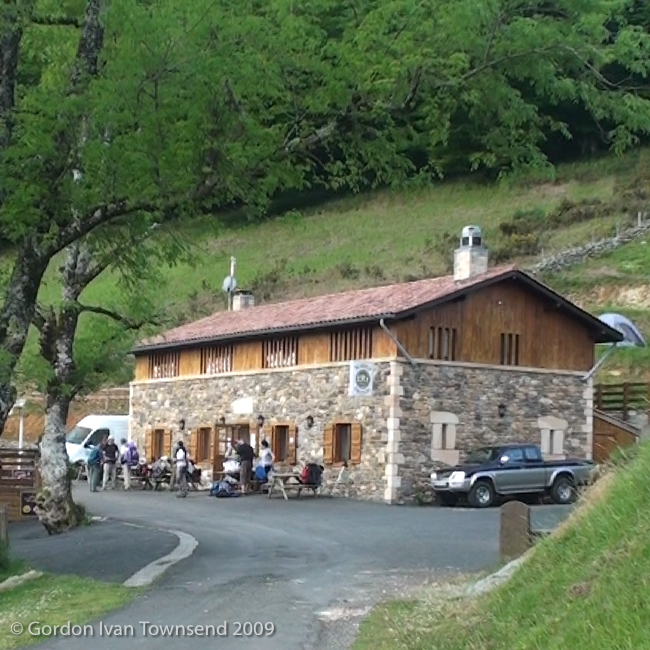
4. View SW from D-428 (El Camino) towards ESE facing front of Albergue Orisson – Day 1 (20090523-04-00176-1.jpg, 9:23 AM) (43°6’33” N 1°14’19” W) Click to view on map.
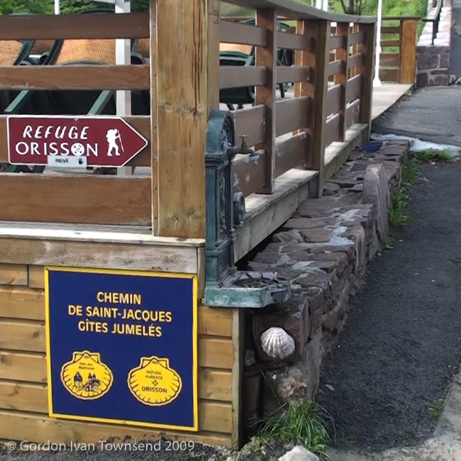
5. View S from D-428 (El Camino) towards drinking-water fountain across street from Albergue Orisson – Day 1 (20090523-05-00178-1.jpg, 9:24 AM) (43°6’32” N 1°14’21” W) Click to view on map.
6. View N from D-428 (El Camino) towards me kneeling beside road-side monument (w/ red sacred-heart): identifies nearby statue – Virgen de Orisson – Photo by Nico – Day 1 (20090523-06-DSC00011.jpg, 11:02 AM) (43°4’53” N 1°15’8″ W) Click to view on map.
7. View ENE from D-428 (El Camino) towards Committee of Vultures along crest of nearby hill – Day 1 (20090523-07-00186-1.jpg, 11:36 AM) (43°4’19” N 1°15’60” W) Click to view on map.
8. View E from D-428 (El Camino) towards Kettle of Vultures circling above nearby hill – Day 1 (20090523-08-00187-1.jpg, 11:39 AM) (43°4’16” N 1°16’5″ W) Click to view on map.
9. View NW from D-428 (El Camino) towards single vulture flying NE – view of valley & mountain ridges beyond – Day 1 (20090523-09-DSC00012.jpg, 11:48 AM) (43°4’9″ N 1°16’9″ W) Click to view on map.
10. View S towards wooden way-marker at point where El Camino departs D-428 & follows path-way to Col. de Lepoeder – Day 1 (20090523-10-00191-1.jpg, 12:07 PM) (43°3’32” N 1°16’3″ W) Click to view on map.
11. View SW from rest-area along El Camino (near Small Cement Cross) towards 3 Pyrenees ponies & valley beyond – Day 1 (20090523-11-00192-1.jpg, 12:09 PM) (43°3’30” N 1°16’3″ W) Click to view on map.
12. View ESE towards Small Cement Cross at point where El Camino departs D-428 & follows path-way to Col. de Lepoeder – Day 1 (20090523-12-00194-1.jpg, 12:10 PM) (43°3’30” N 1°16’3″ W) Click to view on map.
13. View NNW towards D-428 from rest-area along El Camino (near Small Cement Cross) towards Pyrenees Ponies (mare & colt) approaching lunch-van of pilgrim-group – Day 1 (20090523-13-00196-1.jpg, 12:10 PM) (43°3’30” N 1°16’3″ W) Click to view on map.
14. View E (on L) from path-way (El Camino) towards way-marker (carved stone): “Saint~Jacques de Compostelle 765 kms” – Day 1 (20090523-14-00197-1.jpg, 1:27 PM) (43°2’51” N 1°15’54” W) Click to view on map.
15. View S along path-way (El Camino) towards border-crossing into Spain – front of Fontaine de Roland – Day 1 (20090523-15-00201-1.jpg, 1:31 PM) (43°2’49” N 1°15’53” W) Click to view on map.
16. View E (on L) from path-way (El Camino) towards Fontaine de Roland – Nico on R – Day 1 (20090523-16-00202-1.jpg, 1:32 PM) (43°2’49” N 1°15’53” W) Click to view on map.
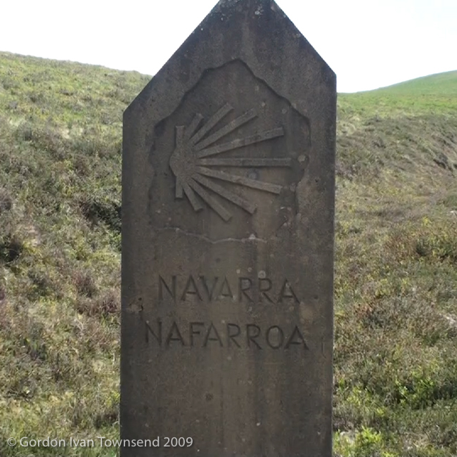
17. View S diagonally L from path-way (El Camino) towards boundary-marker: “Navarra-Nafarroa” – Day 1 (20090523-17-00205-1.jpg, 1:40 PM) (43°2’48” N 1°15’53” W) Click to view on map.
18. View S from path-way (El Camino) towards wooden sign: GRT-7 (2 directions), GR-12 (2 directions) & El Camino (points R toward Santiago) – Day 1 (20090523-18-00206-1.jpg, 1:44 PM) (43°2’41” N 1°15’57” W) Click to view on map.
19. View NNW from path-way (El Camino) towards wooden sign (below Col. de Lepoeder): GRT-7 (2 directions), GR-12 (2 directions) & El Camino (points L toward Santiago) – Day 1 (20090523-19-00210-1.jpg, 2:47 PM) (43°1’33” N 1°17’46” W) Click to view on map.
20. View SW (on L) from NA-2033 (El Camino) towards forested valley of Roncesvalles & Burguete ~250 m after Col. de Lepoeder – Day 1 (20090523-20-00212-1.jpg, 2:52 PM) (43°1’38” N 1°17’55” W) Click to view on map.
21. View E (on L) from unpaved shortcut across switchback on NA-2033 (El Camino) towards S-facing WWII bunker (overgrown & hidden in the trees) – Day 1 (20090523-21-00213-1.jpg, 3:28 PM) (43°1’12” N 1°19’3″ W) Click to view on map.
22. View SSW from forested path at convergence with unpaved GRT-7 (AKA C/ Roncesvalles) – top of monastery tower & construction crane visible – Day 1 (20090523-22-00360-1.jpg, 4:01 PM) (43°0’52” N 1°19’3″ W) Click to view on map.
23. Pilgrim’s Stamp: “S’CONVENTUS HOSPITALIS ROSCIDEVALLIS.o” – Monastery & Albergue – Roncesvalles – Day 1 (20090523-23-PS-2.jpg, ~4:20 PM) (43°0’34” N 1°19’11” W) Click to view on map.
24. View SSE from dinning room of Casa Sabina towards rainbow terminating behind Albergue – Roncesvalles – Day 1 (20090523-24-00221-1.jpg, 9:10 PM) (43°0’34” N 1°19’14” W) Click to view on map.
25. View NNE from N-135 towards SSE facing front of Casa Sabina – Roncesvalles – Day 1 (20090523-25-00224-1.jpg, 9:31 PM) (43°0’33” N 1°19’15” W) Click to view on map.
26. View SE from N-135 (across road from Casa Sabina) towards Iglesia de Santiago (Siglo XIII), La Capilla de Sancti Spiritus (Siglo XII) & La Posada Hotel – Roncesvalles – Day 1 (20090523-26-00226-2.jpg, 9:31 PM) (43°0’33” N 1°19’15” W) Click to view on map.
27. View N from N-135 towards main entrance of Monastery (Real Colegiata de Santa María) – Roncesvalles – Day 1 (20090523-27-00229-1.jpg, 9:34 PM) (43°0’32” N 1°19’11” W) Click to view on map.
28. View W from E-side of N-135 towards setting sun over Albergue – Roncesvalles – Day 1 (20090523-28-00230-1.jpg, 9:35 PM) (43°0’32” N 1°19’11” W) Click to view on map.
29. View N from foot of top-bunk towards my clothes for next day & sleeping bag (in stuff sack) – sheets & pillow (provided by Albergue) – Roncesvalles – Day 1 (20090523-29-00231-1.jpg, 9:38 PM) (43°0’32” N 1°19’14” W) Click to view on map.
30. View SE from foot of my top-bunk along line of bunks towards entrance of Albergue – Roncesvalles – Day 1 (20090523-30-00232-1.jpg, 9:38 PM) (43°0’32” N 1°19’14” W) Click to view on map.
