JOURNEY TO THE HEART OF MY TRUTH – EL CAMINO DE SANTIAGO 2009
Day 2, Sunday, 24 May 2009, Roncesvalles to Zubiri, Spain
Spiritual In-sight:
Surrender to, and be at-effect of your spirit’s path. This, and this alone, is the key that opens the door of infinite possibility.
| Click here for Day 2 Photo Gallery |
|---|
~6:00 AM – Lights on – Awake in Albergue Roncesvalles
I feel rested, and ready to start my second day of walking. I finish packing, and head to the exit. I see Niko standing next to his bunk, and remember passing this exact spot multiple times last night from my bunk to the main door or the rooms downstairs. I wonder why I didn’t notice him here last night or out at dinner.
Niko is ready too, and with little more than a nod we’re walking buddies again.
~6:45 AM – Depart Albergue Roncesvalles
The air feels cool, crisp, and wet on my skin.
~7:10 AM – Enter Burguete
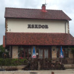
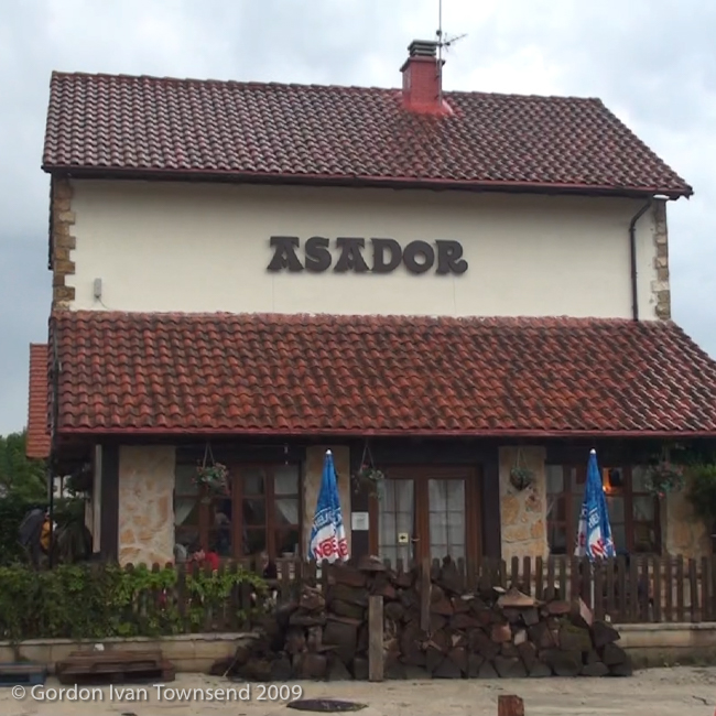
~7:15 AM – Breakfast in Restaurante Asador Aritza, Burgete
Note: Restaurante Asador Aritza = Aritza Jatetxe-Erretegia in Basque.
Breakfast: tortilla española + baguette + banana + café con leche.
Cost (breakfast) = €7.00
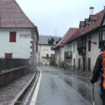
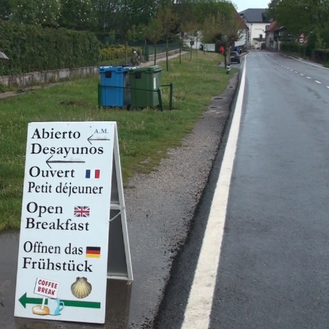
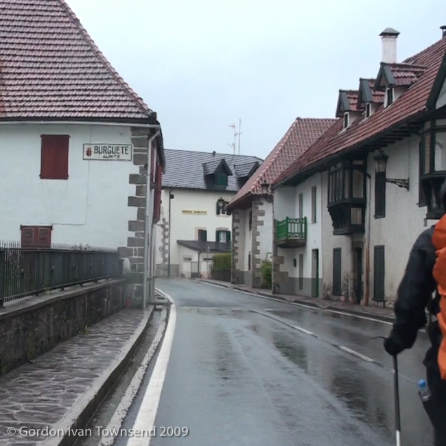
View WSW along N-135 (El Camino) towards city center – next to Rest. Asador Aritza – Burgete – Day 2
~8:00 AM – Exit Restaurante Asador Aritza
I explore the area outside the restaurant, take a few photos, and shoot some video.
The rain continued all night long, and into the morning. It mostly dissipates after breakfast in Burguete, but we continue walking in our rain-gear, just in case.
~8:10 AM – Depart Restaurante Asador Aritza
After Breakfast, Niko and I walk through Burguete.
Note: The quaint community of Burguete was immortalized by Ernest Hemingway in his novel, The Sun Also Rises. Evidently, Hemingway lodged here in 1924 and 1925 while on an extended fishing trip to the nearby River Irati (literally “Angry” in Latin).
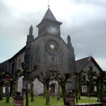
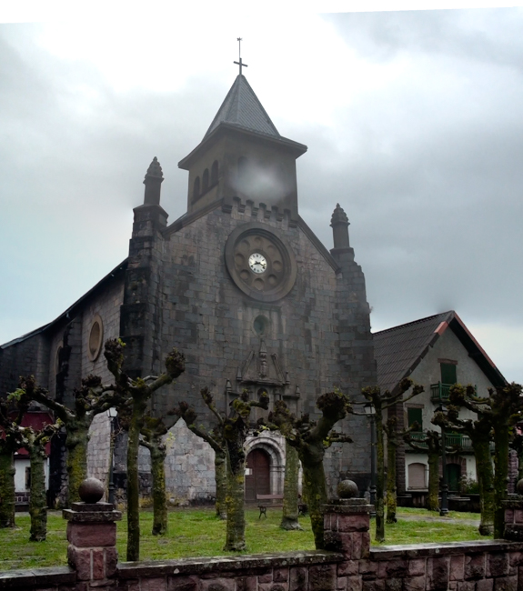
~8:20 AM – Pass Iglesia de San Nicolás de Bari
A yellow-green moss grows on all the trees in the church courtyard, and all limbs have been aggressively bobbed.
~8:25 AM – Depart Burguete on Highway N-135
Niko & I follow Highway N-135, a dozen or so meters behind a few other pilgrims. We pass a small religious procession walking slowly towards Burguete, and I search for way-markers, but don’t find any. I feel slightly desperate, but trust Niko, and continue to match his quick pace.
~9:00 AM – Enter Espinal
We pass the modern church, San Bartolomé, and discover various way-markers and a few pilgrims. The first way-markers indicate a right turn from a side-road onto N-135, the roadway we followed from Burgete.
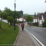
View WNW along N-135 (not El Camino) ~200 m inside city limit (entrance) – following Nico – Espinal – Day 2
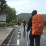
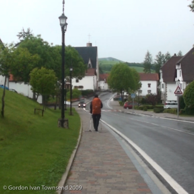
View SW along N-135 (not El Camino) at city limit (exit) – following Nico & other pilgrims – Burgete – Day 2
Note: We missed the rural path El Camino follows from Burguete to Espinal. Evidently, in Burgete we missed a way-marker indicating a right turn from Highway N-135 onto a side-street connecting to the rural path. I never asked Niko if that was his intention or not.
~9:15 AM – Depart Espinal
~9:20 AM – Encounter Giant Earthworms on Pathway
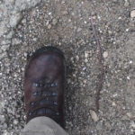
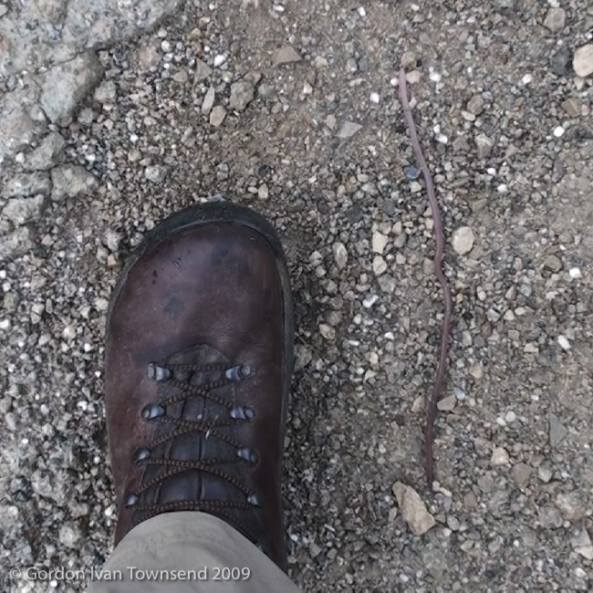
I stop and take photo of a giant earthworm crawling next to my boot. It’s as long as my boot, so ~12 inches (~30.5 cm). The paved pathway is covered with these long (giant) earthworms, so I step carefully to avoid them.
Note: Earthworms breath through their skin. So when the soil is too wet, they seek refuge above ground on dry surfaces.
~1.5 miles (2.4 km) out of Espinal, we turn right and walk along the edge of two very muddy pastures. It’s a challenge to keep my balance while keeping an eye out for the next way-marker.
After the muddy pastures, the path crosses Highway N-135. We continue on a drier path for ~1.5 miles (2.4 km) to a point above Barranco Uberea.
Note: Barranco = Ravine or Gully in Spanish.
~9:50 AM – Descend to Barranco Uberea
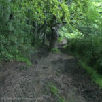
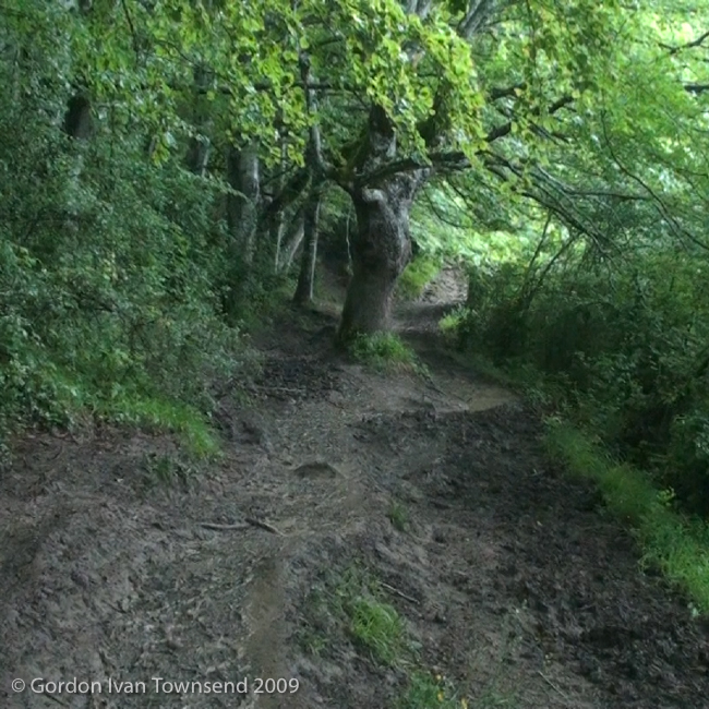
The path is incredibly muddy here. It’s difficult to negotiate, even dangerous. I regret not having a second walking-pole to help maintain my balance. In the mud, I find my body wants to twist around the single pole whenever I put weight on it; it’s quite precarious. After crossing Barranco Uberea, the path continues a short distance and exits onto the edge of Highway N-135.
~10:00 AM – Arrive Edge of Highway N-135 (just west of Barranco Uberea)
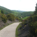
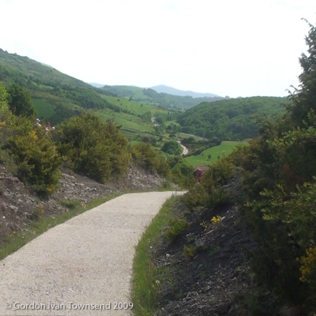
The path follows the edge of N-135 a short distance before abruptly diverging to the right. Generally, the path is better now, often paved, and not muddy. Niko & I stop a few times to rest. At one stop, I eat a few snacks from the plastic box in my pack.
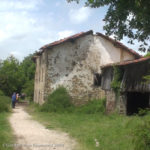
~1:30 PM – Pass Ventas del Puerto (Abandoned Albergue)
I stop and shoot a short video.
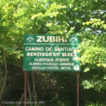
~2:15 PM – Enter Zubiri
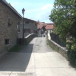
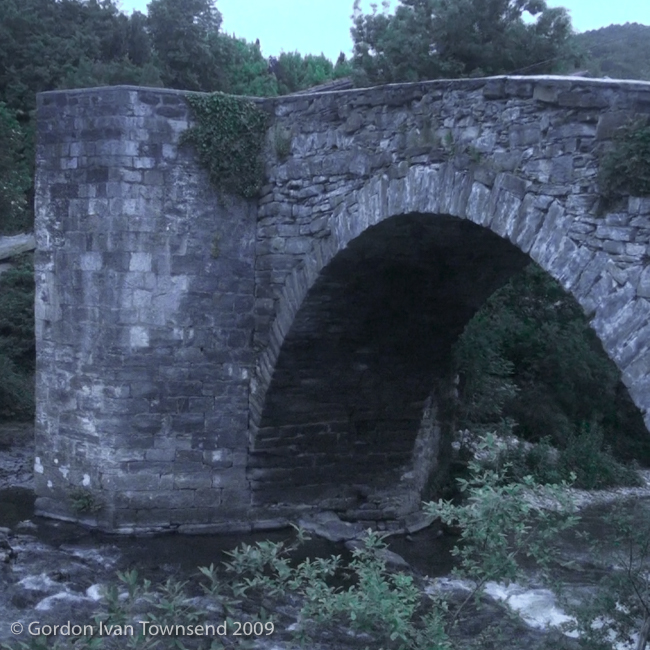
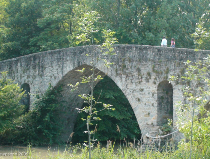
We cross stone-arched bridge over River Arga, enter town, and encounter Marsha sitting on the left side of street. We stop to chat a moment before I remember my business cards. I give one to Marsha, and another to Niko. She says she is resting a moment before continuing on to the next town. This is the same Marsha we met on Day 1 at the Fontaine de Roland just before the French-Spanish border.
I regret, again, not giving a card to Anna in Honto. I may never see her again.
Niko knows instinctively how to locate the Municipal Albergue (operated by the local city government), and walks directly to it. This is the same instinct we followed this morning on N-135 from Burguete to Espinal.
~2:30 PM – Arrive Albergue Peregrinos – Concejo de Zubiri
Note 1: Peregrinos = Pilgrims in Spanish.
Note 2: Concejo de Zubiri = Council (AKA Town Council) of Zubiri in Spanish.
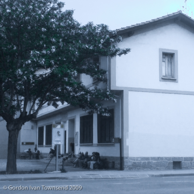
The Albergue Peregrinos (Municipal Albergue) is old converted school-house just a short distance from the stone-arch bridge where we entered town. We sit on a bench in front of Albergue, and he writes his address and e-mail in my journal. He explains that he must cover more distance that day so excuses himself, and heads off to the next city.

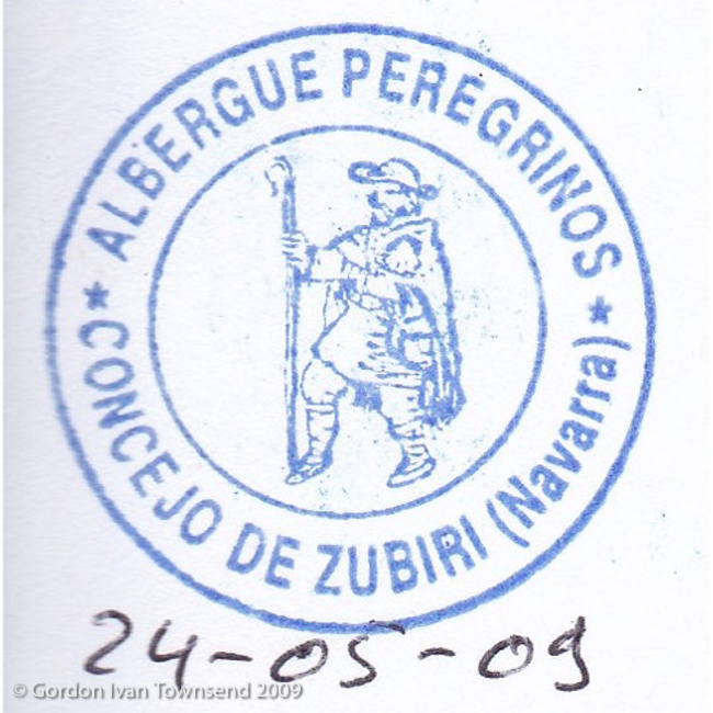
Pilgrim’s Stamp: “ALBERGUE PEREGRINOS – CONCEJO DE ZUBIRI (Navarra)” – Municipal Albergue – Zubiri – Day 2
Does Niko find Marsha, and do they walk together to the next city? I continue sitting for a moment, and realize that I’m much too tired to continue. In my heart, it’s the right moment for Niko to leave, and take full advantage of his youthful energy.
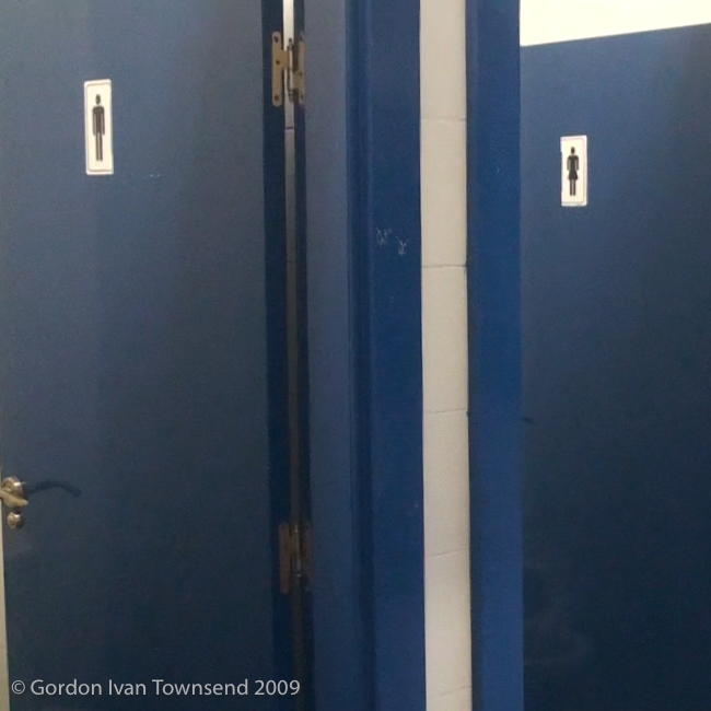
The Hospitalero (literally “hospitable person” in Spanish, and common name for worker at an Albergue) is not at Albergue, so I remove my boots, and enter room to left of office. I claim a low-bunk near door, and don my sandals. There’s a similar room with bunkbeds to right of office, a gymnasium with stack of exercise mats, and a separate building with restroom, shower and dinning facilities.
~3:00 PM – Hospitalero Arrives
I register with Hospitalero (he does not live on-site). He stamps my Pilgrim’s Passport, and registers me in his book. I pay the fee, and return to my bunk.
Cost (bed) = €6.00
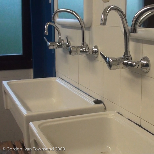
A group wants several beds together, so asks if I can move. I agree, and relocate to an open top-bunk along the back wall. I wash myself, and a few of my clothes in the communal washroom. I find the facilities simple and a bit crowded, but more than adequate for my needs.
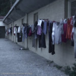
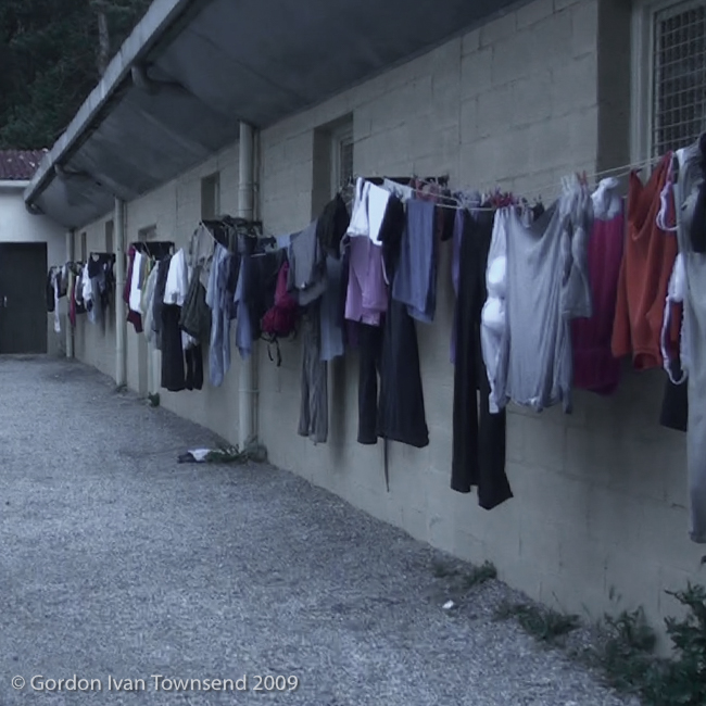
I hang most of my wet clothes on a single-line provided outside along southern wall of gymnasium. It’s crowded, so I hang rest on my cantilevered walking-pole at my bunk.
Note: A suitable drying rod, for lighter articles, can be fashioned by extending walking-pole to its maximum length, and wedging ~1 ft of the handle between my mattress and the wire-mesh frame that supports it. It’s called a cantilever since it projects horizontally, and is rigidly anchored at only one end.
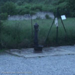
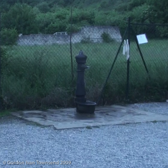
I take my muddy boots to public fountain in yard of Albergue, and clean off the sticky mess from the day; it’s an arduous task. I use a small finger-nail brush from my hygiene-kit to dislodge mud from all the nooks, crannies and surfaces. I’m glad I have it, and it works, but I’m generally unimpressed with its utility. I set the wet boots outside office of Albergue, next to all the others, where I hope they’ll dry overnight.
Pilgrims keep arriving even after all beds in the two main rooms have been claimed. The overflow space is the gymnasium, and each new pilgrim claims an exercise mat from the stack. They drag it to an open space on the floor, and self-organize into small clusters with wide spaces of separation. I wonder if the gym offers an increased level of privacy.
~7:45 PM – Exit Albergue Peregrinos & Shoot Videos
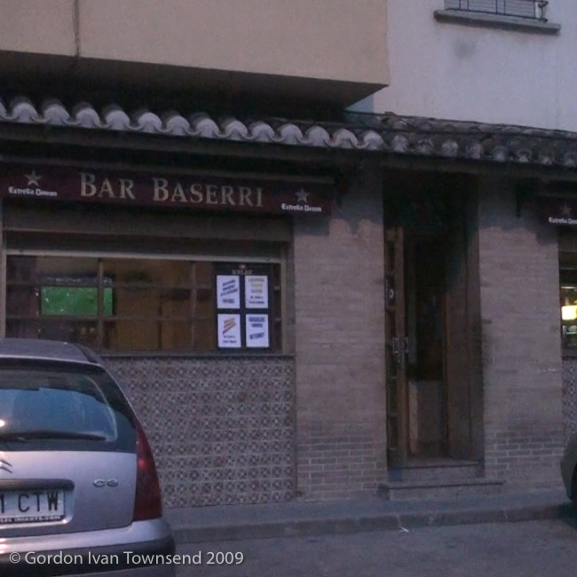
I shoot a few videos around Albergue, in Plaza Mayor (literally “main square” in Spanish), and from several different vantage points around stone-arch bridge at entrance to town. Then, I shoot one last video in front of Bar-Restaurant Basseri, before entering.
~8:30 PM – Enter Bar-Restaurante Basseri, Zubiri
I sit at bar and order a soft drink while waiting to be seated for dinner.
Beverage: carbonated soft drink (Coca Cola, 250 ml can).
Cost (beverage) = €1.80
~9:00 PM – Dinner at Bar-Restaurante Basseri
Dinner (vegetarian-special pilgrim’s menu): lentils with vegetables + baguette + pasta in tomato sauce + fresh farm cheese + red wine + lemonade (bottled, to mix with red wine) + pitcher of water + yogurt for dessert.
Note: Evidently, it’s local custom to mix red wine with lemonade. I used to call it a wine-cooler when I added lemon-lime soda to red wine. The lemonade, in this case, was uncarbonated.
Cost (dinner) = €11.00
I share table with two couples from Cataluña (I think), a region of Spain, and we exchange stories in Spanish. I tell them I’m a Gringo from México, kind of a joke, then hesitate and ask if they know what Gringo means. They laugh and assure me they do, since they’re fans of Mexican movies.
Note: Gringo is a label used by some in México, and rest of Latin America, to denote citizens of the USA. It’s generally considered derogatory in nature, but I’ve always found it comical due to its use in cheesy spaghetti-westerns. However, a bit of research reveals that the word existed in Spain, as a term for any foreigner, long before it migrated to the Americas.
~9:40 PM – Depart Bar-Restaurante Basseri & Enter Albergue Peregrinos
It’s just a 2 min walk to the Albergue. I check my clothes hanging outside (still damp), enter Albergue, and prepare for bed.
~10:00 PM – Lights-out & Quiet-time
Hasta mañana (literally until tomorrow).
Life Lessons, Camino Angels & Spiritual Hind-sight
Day 1812, 8 May 2014, Copperas Cove, TX):
LL2.1 Day 2 – Life Lesson #1
At ~2:35 PM, sitting outside Albergue with Niko, I realize that Germans are master trekkers, and seem to have the best guide books. Niko certainly had an incredible instinct. He helped me in ways I may never fully realize. He was my second (obvious) Camino Angel. I write obvious, in parenthesis, because I’m sure there were many more I did not (or could not) see.
So, I conclude that Germans would be the best source of information should I need it. However, after Niko’s assistance from SJPP to Zubiri, I never needed to ask for directions since almost everything on El Camino was intuitive and obvious.
What exactly is a Camino Angel? Are they unknown souls who maintain and mark the path, or a special individual who flutters in just as I need assistance? Is it a sign-post or yellow-arrow just when I need it, or is it my opening heart, now willing to see what I could not see only a moment ago? Are they individuals looking to serve, or me willing to receive, or a bit of both?
LL2.2 Day 2 – Life Lesson #2
At ~2:40 PM, still sitting outside Albergue, I realize that a good guide-book with maps (like the one by John Brierley) is highly recommended. However, I only had the spiral- bound book-of-maps from Pili Pala Press, and it was all I truly ever needed. Anything more would have fed my mind, and entertained my ego, but come with a surcharge too costly to afford. My simple book-of-maps forced me to open my heart and connect my spirit to the extensive community (and extended family) that is El Camino.
When I surrender to my spirit’s path, and the is-ness of life, I’m at-effect. When I over-think, micromanage, and attempt to dominate or control life, I’m at-cause (or at-affect). I was truly experiencing the palpable (and visceral) difference between being at-effect, and at-cause. I was learning to enjoy being in-the-flow and at-effect.
LL2.3 Day 2 – Life Lesson #3
At ~2:45 PM, now sitting inside the Albergue on my bunk, I looked back on the day and concluded that Niko, 20 years my junior, slowed his pace significantly for me. I certainly appreciate the gesture, and I’m glad he dropped me here. I was ready to rest in Zubiri, and accepted that it was time to part ways. I knew I couldn’t maintain his rigorous pace to the next albergue, much less for another day. I also knew that I had scheduled 6 weeks for My Camino, and he had just 30 days before being due back at work.
He disappeared (evaporated) from the time we arrived for checkin yesterday at the Monastery Office in Roncesvalles until this morning as I departed the Albergue – reappearing at the precise moment I passed his bunk. How could I have missed him, having passed that exact spot dozens of times going to and from my bunk? Indeed, he was my second (obvious) Camino Angel.
I feel true gratitude for my wisdom in planning 6 weeks for My Camino. Would it be enough?
| DAY 2 STATISTICS |
|---|
| SUNDAY, 24 MAY 2009 RONCESVALLES TO ZUBIRI, SPAIN Total Distance Walked (with Backpack) = 13.40 Miles (21.57 km) (29,970 steps) Start Point = Albergue Roncesvalles Start Time = ~6:45 AM End Point = Albergue Peregrinos - Concejo de Zubiri End Time = ~2:30 PM Total Travel Time (including breaks) = 7.75 hrs (7 hrs & 45 mins) Average Stride = 28.33 inches (71.96 cm) Average Speed (including breaks) = 1.73 MPH (2.78 KPH) Key Landmarks = Roncesvalles, Burguete, Espinal, Viskarret, Lintzoain, Ventas del Puerto, Zubiri Total Daily Expenses = €25.80 |
Photo Credits
1. View SW towards NE facing front of Rest. Asador Aritza – Burgete – Day 2 (20090524-01-00234-1.jpg, 8:01 AM) (42°59’30” N 1°19’56” W) Click to view on map.
2. View WSW along N-135 (El Camino) towards city center – next to Rest. Asador Aritza – Burgete – Day 2 (20090524-02-00238-1, 8:03 AM) (42°59’30” N 1°19’57” W) Click to view on map.
3. View WSW along N-135 (El Camino) towards city center – Burgete – Day 2 (20090524-03-00241-1.jpg, 8:13 AM) (42°59’28” N 1°20’2″ W) Click to view on map.
4. View SE from N-135 (El Camino) towards NW facing front of Iglesia de San Nicolás – Burgete – Day 2 (20090524-04-00243-4-Pano.jpg, 8:17 AM) (42°59’21” N 1°20’9″ W) Click to view on map.
5. View SW along N-135 (not El Camino) at city limit (exit) – following Nico & other pilgrims – Burgete – Day 2 (20090524-05-00244-1.jpg, 8:23 AM) (42°59’10” N 1°20’17” W) Click to view on map.
6. View WNW along N-135 (not El Camino) ~200 m inside city limit (entrance) – following Nico – Espinal – Day 2 (20090524-06-00245-1.jpg, 9:04 AM) (42°58’43” N 1°22’0″ W) Click to view on map.
7. View down to giant earthworm next to boot – on rural path (El Camino) ~500 m past Espinal – Day 2 (20090524-07-00246-1.jpg, 9:19 AM) (42°58’36” N 1°22’41” W) Click to view on map.
8. View W along muddy path (El Camino) towards Barranco Uberea – Day 2 (20090524-08-00247-1.jpg, 9:51 AM) (42°58’39” N 1°23’53” W) Click to view on map.
9. View E back along paved path (El Camino) ~ 200 m after Lintzoain – Day 2 (20090524-09-00252-1.jpg, 11:49 AM) (42°57’41” N 1°26’29” W) Click to view on map.
10. View WNW along path (El Camino) towards Ventas del Puerto (Abandoned Albergue) – Day 2 (20090524-10-00254-1.jpg, 1:31 PM) (42°56’15” N 1°28’38” W) Click to view on map.
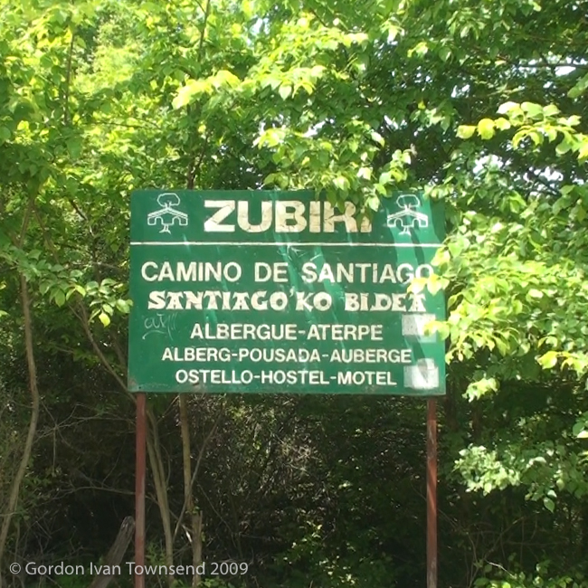
11. View W from path (El Camino) towards metal sign at entrance to city – Zubiri – Day 2 (20090524-11-00255-1.jpg, 2:16 PM) (42°55’49” N 1°30’8″ W) Click to view on map.
12. View W across stone-arch bridge from path (El Camino) towards city center – Zubiri – Day 2 (20090524-12-00256-1.jpg, 2:18 PM) (42°55’47” N 1°30’10” W) Click to view on map.
13. Pilgrim’s Stamp: “ALBERGUE PEREGRINOS – CONCEJO DE ZUBIRI (Navarra)” – Municipal Albergue – Zubiri – Day 2 (20090524-13-PS-3.jpg, 3:05 PM) (42°55’54” N 1°30’16” W) Click to view on map.
14. View SW from yard of Albergue towards water fountain – Zubiri – Day 2 (20090524-14-00257-1.jpg, 7:48 PM) (42°55’54” N 1°30’16” W) Click to view on map.
15. View WNW from yard of Albergue along clothes-line on south side of gym – Zubiri – Day 2 (20090524-15-00258-1.jpg, 7:48 PM) (42°55’54” N 1°30’16” W) Click to view on map.
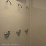
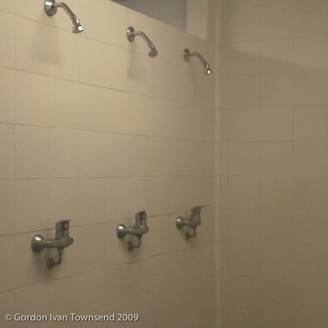
16. View W from door into men’s shower-room at Albergue – Zubiri – Day 2 (20090524-16-00259-1.jpg, 7:49 PM) (42°55’54” N 1°30’18” W) Click to view on map.
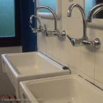
17. View SSW from door along wash basins inside co-ed bathroom of Albergue – Zubiri – Day 2 (20090524-17-00260-1.jpg, 7:50 PM) (42°55’54” N 1°30’18” W) Click to view on map.
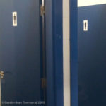
18. View SE from door towards toilet stalls inside bathroom of Albergue – Zubiri – Day 2 (20090524-18-00261-1.jpg, 7:50 PM) (42°55’54” N 1°30’18” W) Click to view on map.
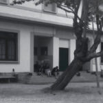
19. View NE from yard towards SSW facing entrance of Albergue – Zubiri – Day 2 (20090524-19-00268-1.jpg, 7:52 PM) (42°55’53” N 1°30’17” W) Click to view on map.
20. View NW from N-135 towards SE corner of Albergue – Zubiri – Day 2 (20090524-20-00269-1.jpg, 7:54 PM) (42°55’53” N 1°30’15” W) Click to view on map.
21. View SE from W bank of River Arga towards center of stone-arch bridge into city – Zubiri – Day 2 (20090524-21-00273-1-Pano.jpg, 8:01 PM) (42°55’48” N 1°30’13” W) Click to view on map.
22. View ESE towards WNW facing front of Bar-Rest. Basseri – Zubiri – Day 2 (20090524-22-00276-1.jpg, 9:39 PM) (42°55’48” N 1°30’17” W) Click to view on map.
