JOURNEY TO THE HEART OF MY TRUTH – EL CAMINO DE SANTIAGO 2009
Day 3, Monday, 25 May 2009, Zubiri to Pamplona, Spain
Spiritual In-sight:
Hindsight is NOT 20:20; that’s bullshit because 20:20 is just average. Hindsight is laser-sharp, focused, and painfully precise. At a minimum, hindsight is 20:5, those minuscule letters 3 rows down from 20:20 on the eye chart.
| Click here for Day 3 Photo Gallery |
|---|
~7:00 AM – Awake in Albergue Peregrinos – Concejo de Zubiri
I collect my clothes from the line outside, plus those I hung on my walking pole. They’re all dry, so I pack them away and organize my pack.
I’m moving a bit slower than the last two mornings; no one is waiting on me. My boots too, have dried nicely, so I’m ready to go.
~8:00 AM – Depart Albergue Peregrinos – Concejo de Zubiri
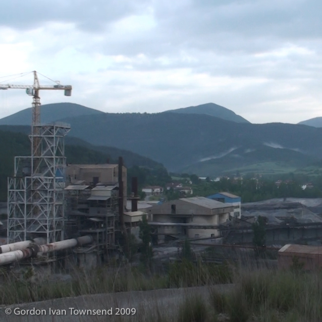
I cross back over the same stone-arch bridge I used when we entered Zubiri, and follow the way-marked Camino along a rural path. I turn right onto a gravel road and get my first clear view of the expansive Magna Plant situated along the River Arga in the valley below.
Note: The Magna Plant (Magnesitas Navarras, S.A.) produces Magnesium Oxide from the rich deposits of Magnesite in the local area. Its strip-mine is located ~10 km to the North. The plant produces 2 forms of Magnesium Oxide: a stable high- temperature, heat-resistant form essential (as a refractory) in the production of steel; and a chemically reactive form used in various applications such as farming, environmental remediation, water & wastewater treatment, and chemical processes.
~8:25 AM – Arrive at edge of Magna Plant
I turn left off the gravel-road onto NA-2335. The Magna Plant is on my right.

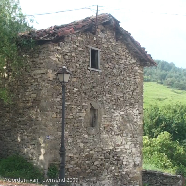
View S (point on El Camino ~20 m after entering community) towards NW facing wall of old stone building – Ilarratz – Day 3

View NNE from road (at entrance to Magna Plant property) back towards industrialized valley along River Arga – Day 3
~8:35 AM – Enter Magna Plant property
A sign warns me, in four languages, to stay on the path.
~8:45 AM – Depart Magna Plant property
After bleak terrain, I’m happy to follow a more scenic path into Ilarratz.
~8:50 AM – Enter Ilarratz
I rest and shoot a few short videos.
~9:10 AM – Depart Ilarratz
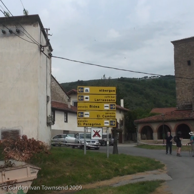
From Ilarratz, I follow a rural road to the small community of Esquirotz, and then a rural path to Larrasoaña.
~9:50 AM – Enter Larrasoaña
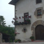
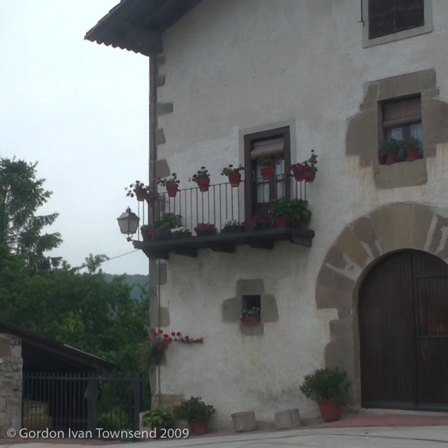
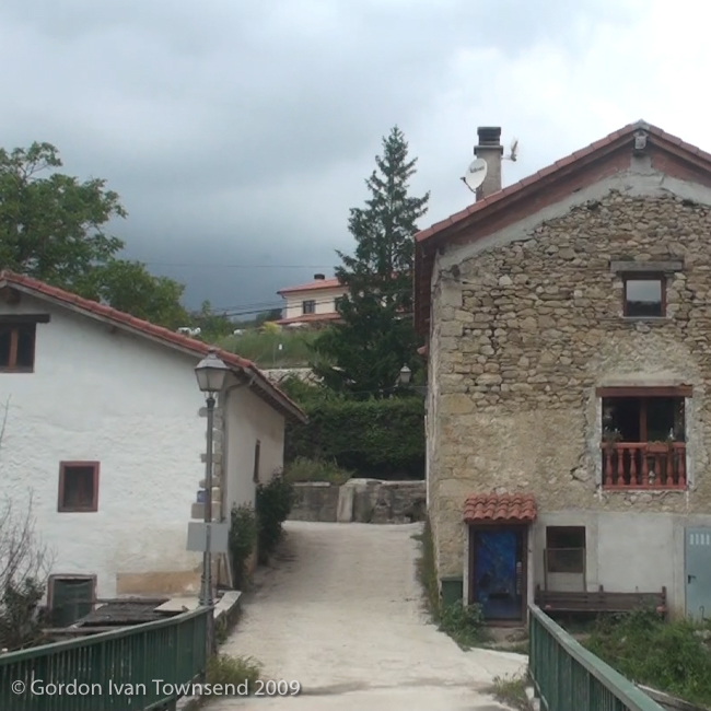
View NNW (point on El Camino at center of community) towards SW facing front & terrace of home – Ilarratz – Day 3
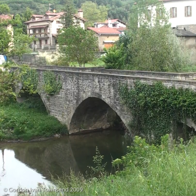
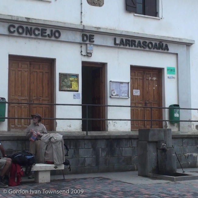
I turn right off the way-marked Camino, shoot a few short videos, cross the stone-arch bridge, and shoot a few more videos of the bridge and its surroundings. I walk to the main street (Calle San Nicolás, literally “Saint Nicolas,” AKA “Santa Claus”), turn left and walk through the town looking for an open café. At the far end, I find the perfect place.
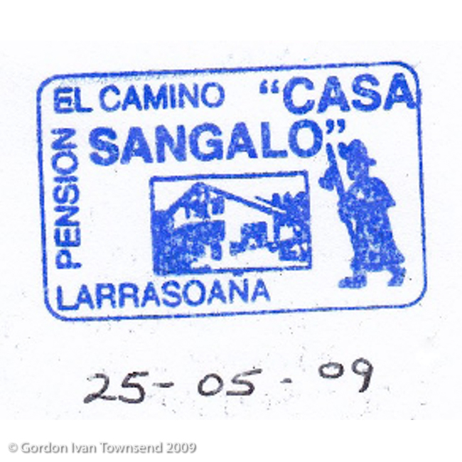
~10:10 AM – Brunch at Café-Bar of Pensión Casa Sangalo, Larrasoaña
I find a table inside, and order from the counter.
Brunch: baguette with cheese + café con leche.
Cost (brunch) = €5.00
~10:30 AM – Finish Brunch
I move to a table outside to rest, relax, and write in my journal. I order sparkling water.
Beverage: sparkling water (Agua Solares, 330 ml bottle).
Cost (beverage) = €2.00
~10:50 AM – Sit & Write in Journal
I write 2 pages concerning my accommodations for the last 2 nights, the evening meals both nights, breakfast yesterday morning and brunch today.
I write, “My back (around left kidney) started hurting very early today so I rest 1 hour and 15 minutes in Larrasoaña after breakfast.” I stow my journal, don my pack, and prepare to depart.
~11:45 AM – Depart Café-Bar at Pensión Casa Sangalo, Larrasoaña
Just as I’m ready to depart, the attendant comes outside to clean tables, finds a fanny-pack, and tosses it in the trash. Evidently, lost fanny-packs are common on El Camino. I imagine the owner struggling between grief for leaving it, and reluctance at returning for it.
I quickly grab it out of the trash, clutch it in my fist, and vow to get it to its owner. I remember a large group of boisterous pilgrims, all with light-packs or less. I only need to find one member of the group.
I hurry back through Larrasoaña, cross the stone-arch bridge, and return to the way- marked Camino.
~11:55 AM – Depart Larrasoaña
I pass through Akerreta, and continue on mostly rural paths.
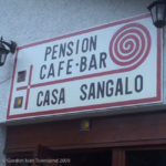
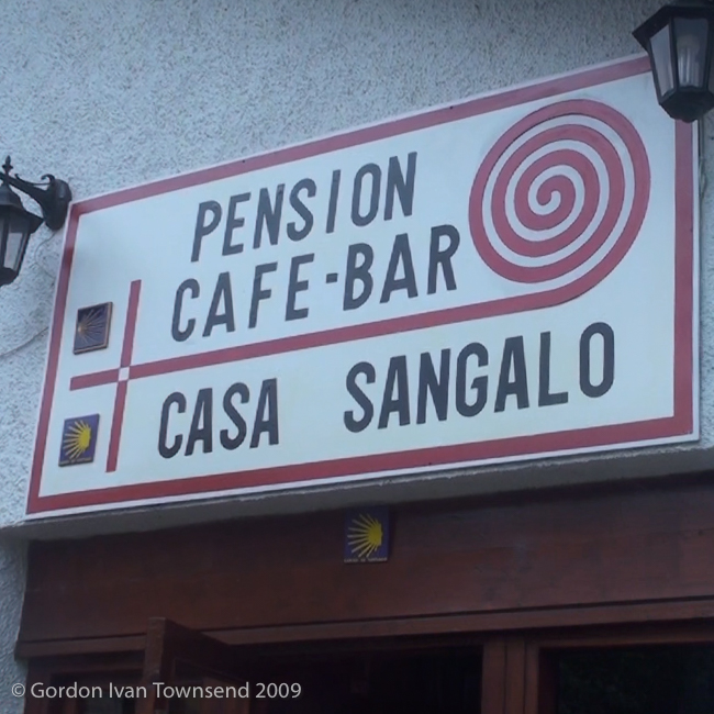
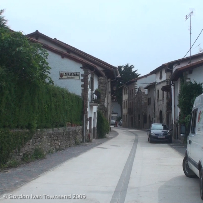
View SE (point at NW corner of Café-Bar) towards sign above door of Casa Sangalo – Larrasoaña – Day 3
~12:25 PM – Encounter Large Slug on Trail
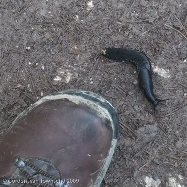
I hurry along the rural path that loosely follows the River Arga, and discover a large, black slug moving slowly across the path. I take a short video of it at the toe of my left boot, and quickly move on.
Soon thereafter, I pass an older lady and young man playing in the water at the edge of the River. They’re from the group at Casa Sangalo in Larrasoaña, and the lady recognizes the fanny-pack. I hand it to the young man, they thank me, and I’m off.
I trust that the fanny-pack will find its owner. I relax now, slow my pace, and return to my natural rhythm: a little less hurried.
~12:55 PM – Enter Zuriáin
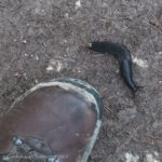
View down to large slug in front of left boot – on rural path (El Camino) ~1400 m past Akerreta – Day 3
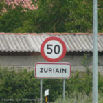
I turn right off the path, cross a modern utility bridge over River Arga, and enter Zuriáin at its center. I turn left, and follow Highway N-135 westward through this small community towards Pamplona.
~1:00 PM – Depart Zuriáin
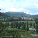
I observe dark storm clouds over the valley ahead, and remind myself that it will be the first storm I encounter on El Camino.
~1:10 PM – Turn left off N-135 onto NA-2339
I follow NA-2339 ~270 m. Way-markers indicate a right turn on to a rural road through a cluster of homes.
~1:20 PM – Pass Large Cement Structure on Left
I encounter a large abandoned cement structure built into the bare rock-face of the hill on the left.
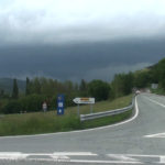
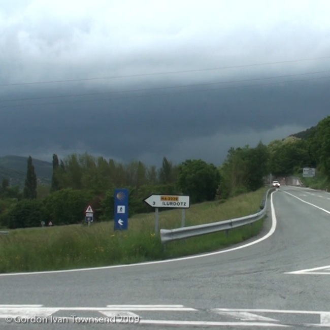
View SSE from N-135 (El Camino) towards approaching storm – way-marker indicates L turn onto NA-2339 – Day 3
Note: Later, while reading about El Camino, I discover the cement structure is an abandoned stone quarry. The cluster of homes must have originally been for owners or employees of the quarry. Interesting!
A short distance later, I pass a solid metal gate and high wall, on the left, guarding some unknown space or structure within. A light rain starts just as I drop off the local roadway, and descend to the right onto a narrow path through the woods. The rain intensifies rapidly, I hesitate a moment to consider my options, and then hurry the 20 or so steps back to the metal gate. The gate offers partial protection with its narrow overhang. I put on my rain-gear, stow my video camera inside my pack, wait ~15 minutes, and continue my journey.
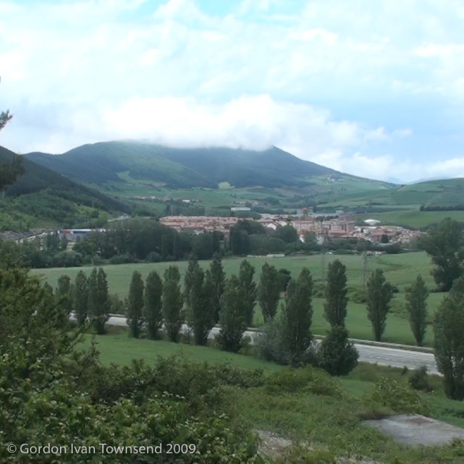
I pass through Irotz, Zalbaldika, and Arleta. The storm is mostly ended by the time I reach Arleta. The sky clears and the views become crisp as I proceed toward Pamplona. I follow a tunnel under PA-30, turn right, and climb the path until I’m well above the highway with a clear view of Arre in the distance. Arre is a small suburb northeast of Pamplona along the River Ulzama.
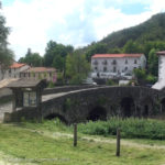
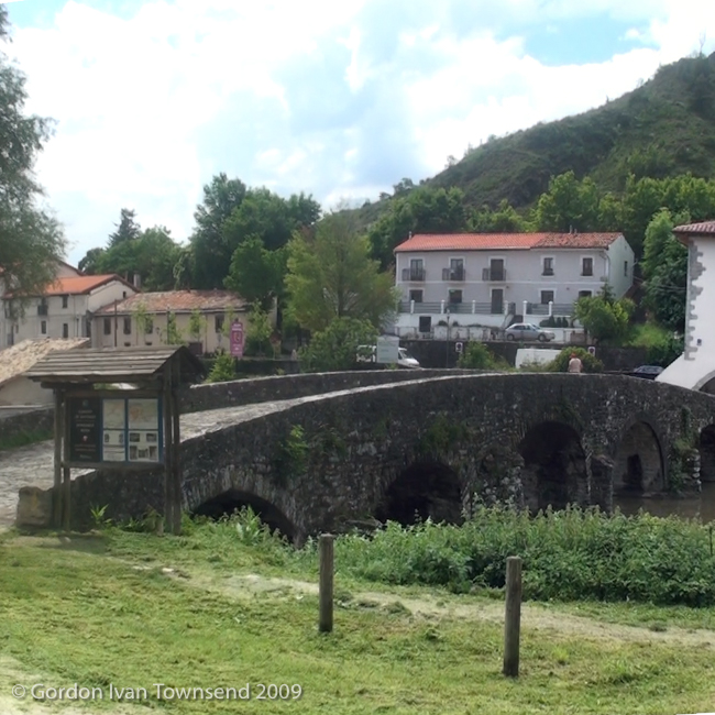
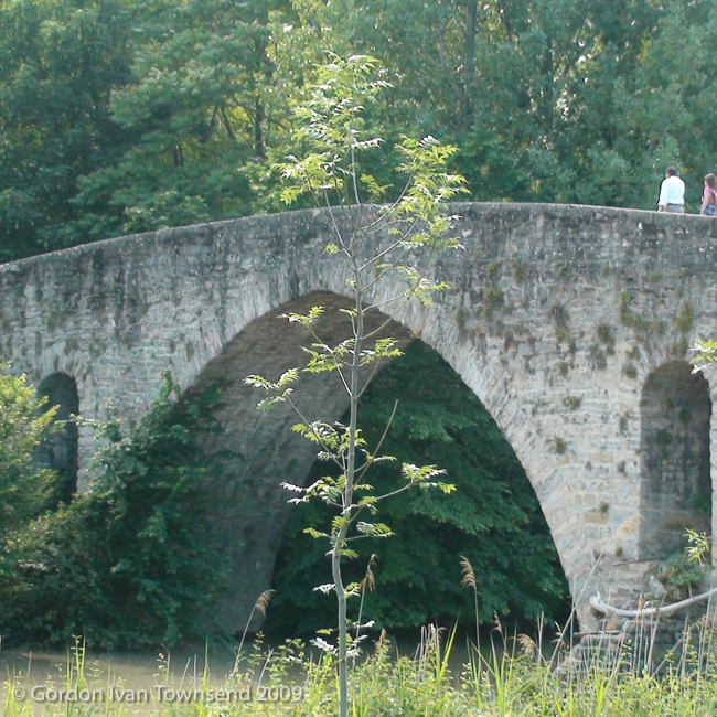
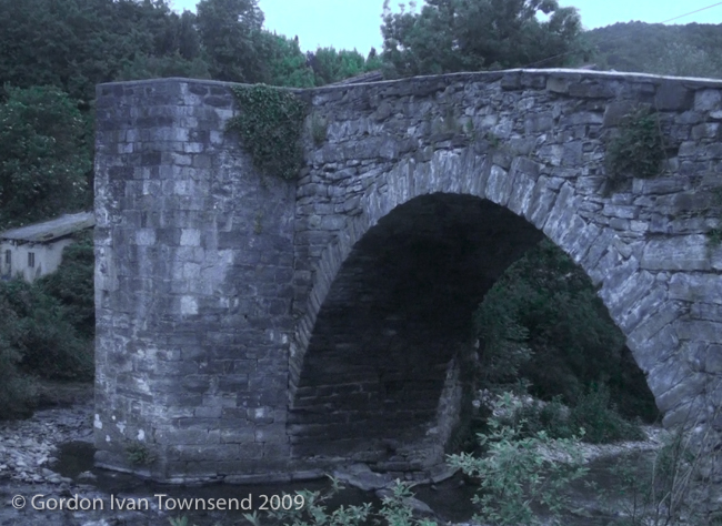
View SSW from path (El Camino) towards center of stone-arch bridge at Trinidad de Arre (River Ulzama) – Day 3
~3:35 PM – Cross Stone-Arch Bridge at Trinidad de Arre (River Ulzama) & Enter Villava
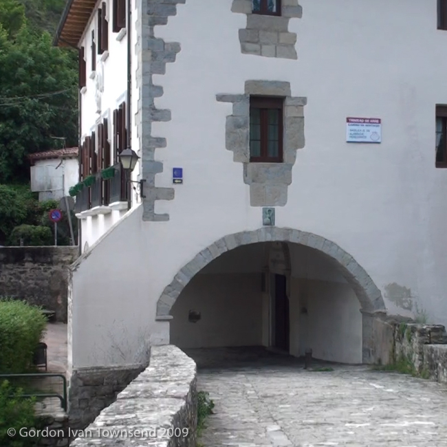
The far end of Bridge passes through an arched-passage at the corner of Trinidad de Arre Albergue-Basílica – Siglo XII (literally “Trinity of Arre Albergue-Basilica – 12th century” in Spanish).
Note: I did not find an acceptable Spanish translation for Arre (except “giddy-up,” as in a command for a horse to go, but feel this an unlikely etymology). So, I researched further and discovered: Trinidad de Arre = Arreko Trinitatea in Basque (literally “Brown Trinity”). Interesting!
A sharp left turn inside the arched-passage puts me on direct-course to follow Calle Mayor (AKA Kale Nagusia in Basque — El Camino).
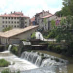
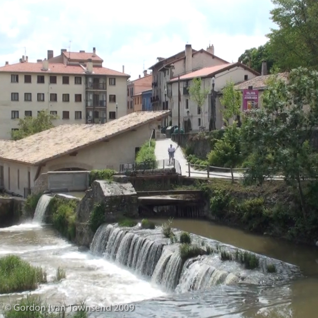
View SW from center of stone-arch bridge at Trinidad de Arre across mill-works towards Calle Mayor – Villava – Day 3
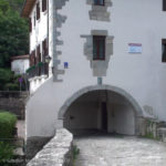
View WNW from center of stone-arch bridge (El Camino) towards Trinidad de Arre Albergue-Basílica – Villava – Day 3
~3:55 PM – Stop & Rest at Park, Calle Mayor, Villava
I take off my pack, and lie down on a wooden bench to rest my back.
~4:20 PM – Depart Park on Calle Mayor, Villava
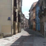
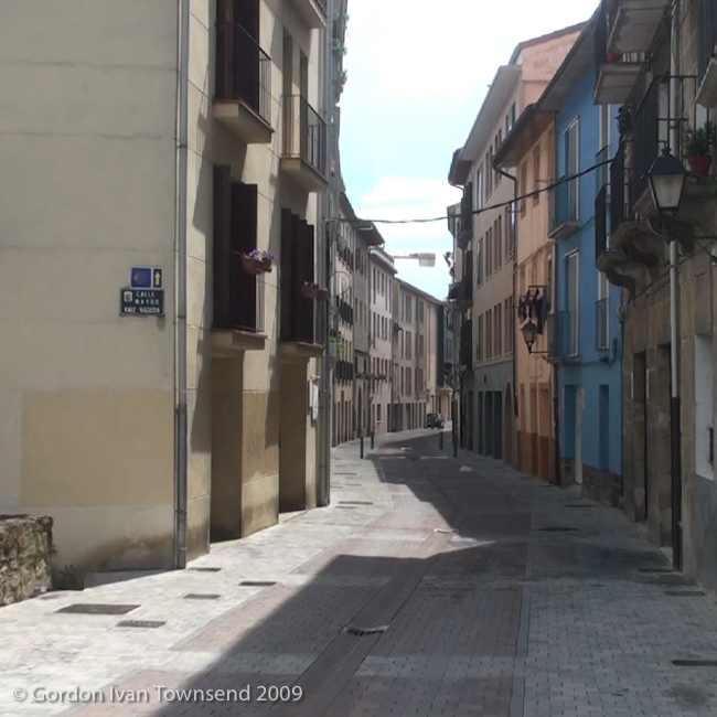
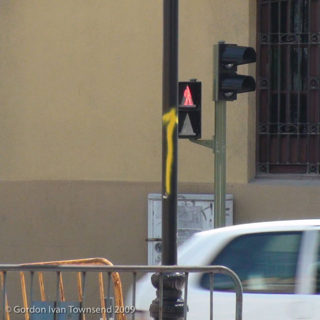
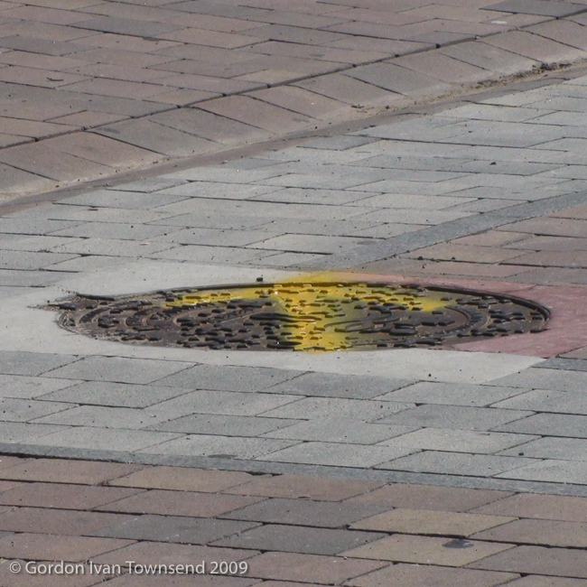
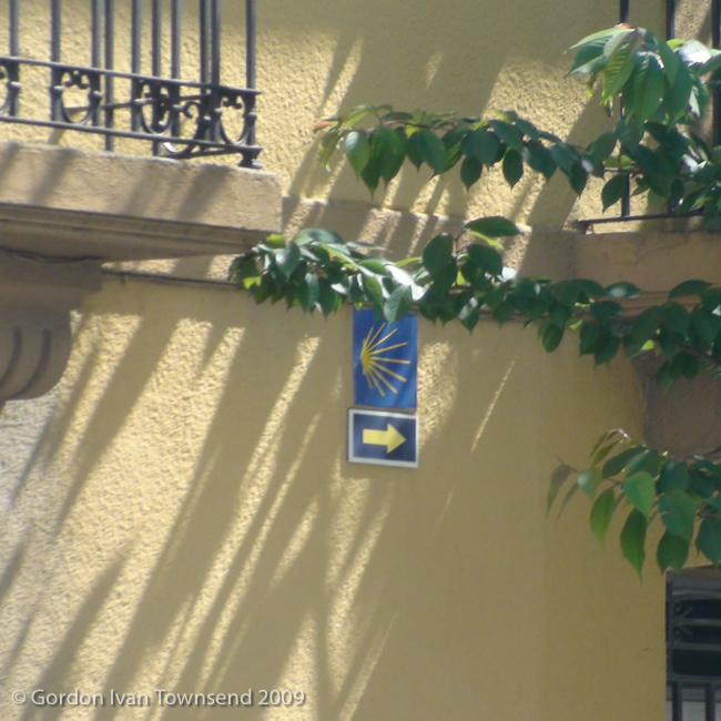
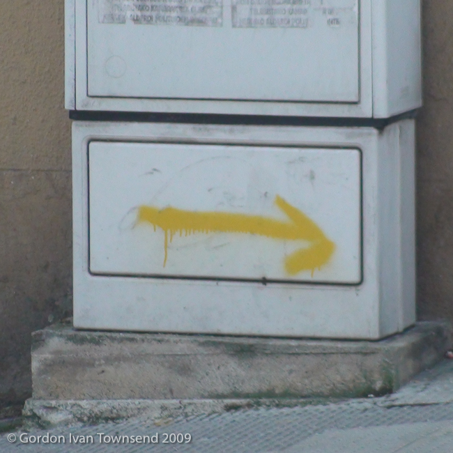
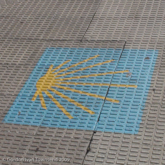
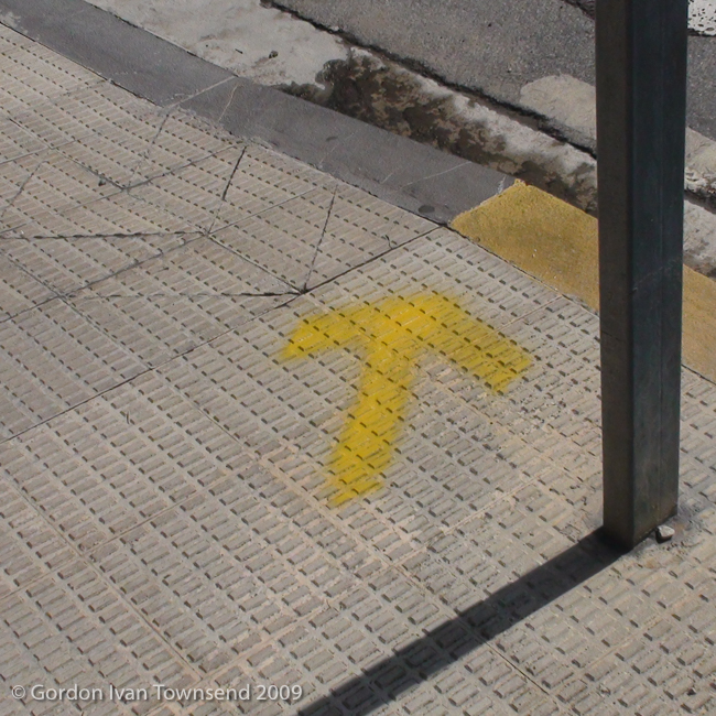
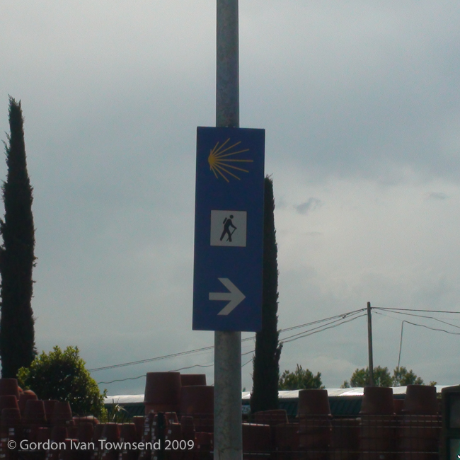
I pass along a mixed residential-commercial street, Calle Mayor, on my way to Pamplona’s city-center. I watch carefully for the next way-marker: sometimes just a hand-painted yellow-arrow (potentially anywhere: high, low, left, right, on a pole, or on the back of a sign), ceramic tiles mounted on the sides of buildings, formal signage, and professionally painted stylized scallop-shells on the sidewalk. Everything yellow catches my eye until I determine whether it’s a valid way-marker, and follow it, or dismiss it.
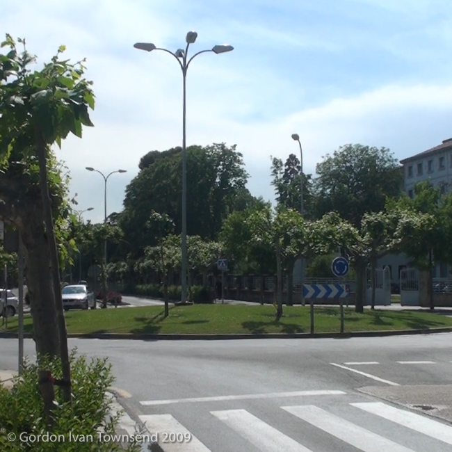
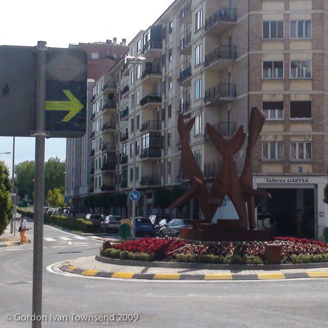
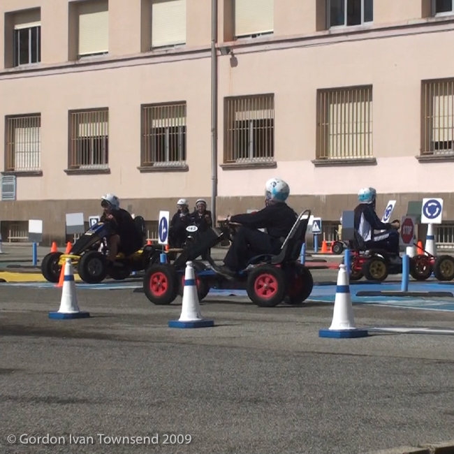
I follow way-markers along Calle Mayor through the center of Villava. At its intersection with Calle San Andres Kalea, the street (El Camino) changes name to Av. Serapio Huici, but I proceed straight along the left sidewalk following progressive way- markers. At the 2nd rotonda (AKA glorieta in México, literally “traffic-circle”), I pass from Villava to Burlada, and the street (El Camino) reverts from Av. Serapio Huici back to Calle Mayor again. At the 3rd rotonda, way-markers direct me to turn right, cross the street, and follow a pedestrian passage-way between buildings, Calle Larrainzar (El Camino). Here, I pass a school, Colegio Amor de Dios, with students wearing helmets and driving peddle-powered vehicles. They’re darting about while navigating an extensive pattern of simulated streets laid out on their paved school-yard. Uniformed Police are present, so I assume this is a community-outreach program to teach traffic law through experiential learning.
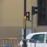
View SW along Calle Mayor (El Camino) towards hand-painted yellow-arrow way-marker (on pole) – Villava – Day 3
I cross a busy street, Calle Bizkarmendia, pass a large garden-center on my left, and follow Camino Burlada (El Camino) to Puente de la Magdalena.
Note: I passed from Burlada to Pamplona ~400 m after crossing Calle Bizkarmendia.
~5:30 PM – Cross Stone-Arch Bridge, Puente de la Magdalena (River Arga), Pamplona
Note1: Puente de Magdalena = Bridge of Magdalena in Spanish.
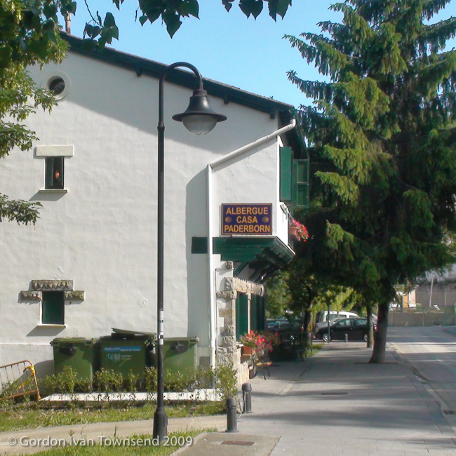
After the bridge, I find a sign pointing left (away from El Camino) towards Casa Paderborn. I feel exhausted and impatient to finish, so follow Calle Playa de Caparroso (literally “Beach of Copperas” or “Copperas Beach” in Spanish) a short distance to the Albergue.
Note2: My interest was piqued when I learned the meaning of Caparroso. That identifier, Copperas (literally “green crystals of hydrated ferrous sulfate”), was added to the name of my home-town, Copperas Cove. Evidently, when the railroad extended through town, another Cove, TX (now called Evant, TX) already existed. To differentiate the two for mail delivery, the identifier, Copperas, was added. Locals still refer to the town simply as Cove, TX, and I’m still searching for green crystals in the local spring water. So far I haven’t found any.
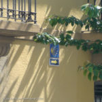
View SW diagonally across intersection of Calle Mayor (El Camino) & Calle San Andres Kalea towards tile way-marker (on side of building) – Villava – Day 3
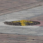
View SW along Calle Mayor (El Camino) towards hand-painted yellow-arrow way-marker (on manhole cover) – Villava – Day 3
~5:40 PM – Arrive Casa Paderborn (Private Albergue), Calle Playa de Caparroso No. 6, Pamplona
Two older Germans are volunteering as Hospitaleros, greet me with pleasant smiles, register me in their book, and stamp my Pilgrim’s Passport. They quote separate prices for bed and breakfast, and I wonder if I’m obligated to purchase the 2 Euro breakfast. The thought passes as quickly as it came, and I pay the total 7 Euro fee. I’m happy a simple breakfast is offered, and wouldn’t want to decline their kindness.
Cost (bed & breakfast) = €7.00
Note1: This small Albergue is located along the Rio Agra below the elevated and walled old-town at the center of modern-day Pamplona. The Albergue is operated by The Association of Friends of the Camino de Santiago of Paderborn, Germany. I assume the couple is from Paderborn, but don’t ask.
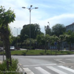
View WSW from sidewalk along Av. Serapio Huici (El Camino) towards center of 1st rotonda – Villava – Day 3
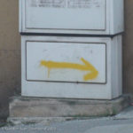
View SW from sidewalk at corner of Calle Mayor (El Camino) across Calle San Andres Kalea towards hand-painted yellow-arrow way-marker – Villava – Day 3
The Hospitaleros tells me that I’m the last person to arrive today, and I get their last open bed in a room full of women. They show me upstairs to a large room with two sections, and two bunk-beds in each section (space for 8 pilgrims). An accordion door separates the two sections. The first section is fully occupied, and only one open top-bunk is available in the second section. I’m a bit nervous to accept the last bed since I’ll be the only man in a room full of women, but I’m tired and don’t foresee any problem.
I hand-wash my clothes in a large sink on the low back porch. Afterwards, I’m shown a spin-dryer that’s kept in the basement. It’s a small electric drum that’s designed to extract water from wet clothing; it’s indispensable in this damp, humid air. I remove my clothes, and hang them out back on the crowded clothes-lines. There aren’t enough clips so I do the best I can with the few I find.
Note2: Later, while reviewing a map of Pamplona, I discover the source of high humidity. The Albergue is more that 50 m from the River Arga, but a canal passes immediately adjacent to the wash area at the back of the Albergue — only a narrow hedge separates the two.
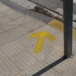
View SW from sidewalk along Av. Serapio Huici (El Camino) down towards hand-painted yellow-arrow way-marker (on sidewalk at cross-walk) – Villava – Day 3
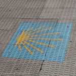
View SW from sidewalk along Av. Serapio Huici (El Camino) down towards painted way-marker (on sidewalk) – Villava – Day 3
I go back upstairs, shower in the communal bathroom, and organize my things at my bunk. Evidently, most women in my room are members of a large group of German pilgrims, and the men of that group chose another room across the hall. Evidently, there’s a 3rd room too, but I don’t investigate. Was this arrangement planned to give the women more privacy, and did I spoil the plan?
I descend the stairs, turn left out of the albergue’s front door, and walk along Calle Playa de Caparroso to its end. I turn right, and follow the steeply inclined pedestrian- path to the center of old-town Pamplona. It’s a relatively short distance, and I soon discover Plaza del Castillo (literally “Plaza of the Castle” in Spanish). There are multiple shops and restaurants. I look over a few menus, and quickly choose Bar Okapi.
~9:00 PM – Dinner at Bar Okapi, Plaza del Castillo, Pamplona
Note: Okapis (AKA forest giraffes) are herbivores and related to the long-necked giraffes commonly associated with Africa. The Okapi, with its shorter neck and stripes on its legs (resembling those on a zebra), is native to the dense rainforests of the Democratic Republic of Congo. The Okapi is prominently featured on the restaurant’s logo and all its signage.

View NE from sidewalk along Calle Larrainzar (El Camino) towards students driving peddle-powered vehicles – Burlada – Day 3
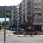
View WSW from sidewalk along Calle Mayor (El Camino) towards professionally painted yellow-arrow way-marker (on back of sign) & center of 3rd rotonda – Burlada – Day 3
The waitress is a young woman from Colombia, and takes special care to have my salad prepared without bonito (AKA tuna). Evidently, bonito is a common ingredient of mixed-green salads in this region of Spain.
So far, I haven’t had any problem being vegetarian. The young waitress understands my needs, and helps me with choices. Even with lots of other customers, she’s focused & on-task, and quickly gets my order to me. In addition to being a vegetarian, I’m also a pilgrim (Is it so obvious?), and she knows I have a crucial time constraint.
Dinner: mixed salad (w/o tuna) + cheese tortellini in herbed cream sauce + 2 lemonades (bottled).
Cost (dinner) = €23.50 (CC)
Cost (tip) = €5.03
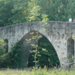
View NW from sidewalk (El Camino) on East bank of River Arga towards center of Puente de la Magdelena – Pamplona – Day 3
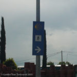
View WSW from sidewalk (El Camino) across Calle Bizkarmendia towards formal signage way-marker – Burlada – Day 3
I enter the Albergue just before lights out, grab my dry clothes hanging out back, climb stairs to my bunk, and exchange awkward glances with a German girl sharing the smaller half-room section. She seems surprised and exclaims, “Oh, a man,” as I enter through the accordion doors that divide the room.
~10:00 PM – Lights-out & Quiet-time
Hasta mañana (literally “until tomorrow”).
~10:45 PM – Awakened by German girl
She walks to my bed and doesn’t say anything, but shows great displeasure in her face, and shushes me. Am I snoring?
~12:00 AM – Again Awakened by German girl
She comes and shushes me again. I must be snoring.
Life Lessons, Camino Angels & Spiritual Hind-sight
(Day 1812, 8 May 2014, Copperas Cove, TX):

Pilgrim’s Stamp: “FREUNDESKREIS DER JAKOBUSPILGER – PADERBORN e.V. – Casa Paderborn – Pamplona” – Pamplona – Day 3
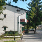
View SSE from sidewalk along Calle Playa de Caparroso towards NW corner of Albergue Casa Paderborn – Pamplona – Day 3
LL3.1 Day 3 – Life Lesson #1
At ~9:55 AM, as I crossed the stone-arch bridge into Larrasoaña, I took my third photo on El Camino. The first photo, on Day 1, was actually taken by Nico – a photo of me.
The second photo on Day 1, of the solo vulture, seems like a fluke looking back. I intended to take many more photos, especially on Day 0 in SJPP, and had actually gone through the motions, almost, but not completely.
To be precise, I thought I was taking photos, but only days later realized I had not. My new video-camera had a switch and button for taking video, and a separate button for still-shots. I didn’t have any problems shooting video; however, still-shots were another matter, I was pointing the camera, and pressing the button, but not enough to actually capture a still-shot image. I heard the camera focus, but did not press the button firmly enough to actually capture a photo.
Was I being too gentle? If yes, why? Que será, será (literally “Whatever will be, will be”).
Without video, most details of Days 0, 1 & 2 would have slipped hopelessly out of my mind. My usual aptitude with all things mechanical was lost, or certainly misplaced, those first 3 days of El Camino. Years later, I’m still bugged that I can’t remember more details, didn’t capture more photos, and didn’t write many notes about those first 3 days. Luckily, I have the videos, but those too were lost a short while on a dying external hard-drive (the same external hard-drive I carried on El Camino to backup my camera’s internal hard-drive, and guard my precious memories). Eventually, I rescued all the video files on the external hard-drive, and everything felt good in the world again. Was it another Camino Angel at work?
I learned another important lesson that day. Any essential equipment, like a camera, no matter how simple it might seem, must be practiced until it is comfortable to use and is functioning as intended. If I plan to backup photos on an external hard-drive, and eventually download those photos and video to my computer, I must actually practice those steps a few times (well before my trip) to fully understand the process as well as any limitations.
Hind-sight is not joined by gentle elevator-music drifting around the back of my mind. It’s accompanied by a banging drum perfectly intent on waking me fully, and grabbing my full attention.
LL3.2 Day 3 – Life Lesson #2
At ~11:45 AM, I took on the role of Camino Angel when I rescued that fanny-pack from the trash with clear intent of returning it to its owner. I only hope she didn’t go back looking for it. That was my primary concern.
I never had a sense that I could fail, and I didn’t.
LL3.3 Day 3 – Life Lesson #3
At ~9:35 PM, I left a generous tip for the waitress at Bar Okapi. Waiters are paid positions in Spain, and tipping not common. A few coins, or rounding up to the next banknote is more usual. However, I remember being struck by her kindness to me, and apparent immigrant status. I felt so utterly fortunate that she understood my variety of Mexican-Spanish, and was so professional and prompt. In my opinion, she earned the tip I left her.
Fortunately, this theme of intentional service followed me throughout my entire journey on El Camino. Poor, slow or distracted service was a rare event.
LL3.4 Day 3 – Life Lesson #4
At ~9:45 PM, as I enter the Albergue, I’m reminded that the 10:00 PM curfew is a bit awkward. I rushed back when I really wanted to stay downtown, sit quietly, and enjoy the local ambiance. 10:00 PM in Spain, to me, is still very, very early.
Note: Pilgrims, it seems, turn into pumpkins if out after 10:00 PM.
Many albergues close their doors at 10:00 PM with no way to enter after that magical pumpkin-hour. I’ve heard rumors that tardy pilgrims sleep outside, without their things, and I vowed to avoid that!
| DAY 3 STATISTICS |
|---|
| MONDAY, 25 MAY 2009 ZUBIRI TO PAMPLONA, SPAIN Total Distance Walked (with Backpack) = 13.52 Miles (21.76 km) (29,453 steps) Start Point = Albergue Peregrinos - Concejo de Zubiri Start Time = ~8:00 AM End Point = Casa Paderborn, Pamplona End Time = ~5:40 PM Total Travel Time (including breaks) = 9.67 hrs. (9 hrs & 40 mins) Average Stride = 29.08 inches (73.87 cm) Average Speed (including breaks) = 1.40 MPH (2.25 KPH) Key Landmarks = Zubiri, Ilarratz, Esquirotz, Larrasoaña, Akerreta, Zuriáin, Irotz, Zabaldika, Arleta, Trinidad de Arre & Villava, Burlada, Pamplona Total Daily Expenses = €42.53 |
Photo Credits
1. View NNE from road (at entrance to Magna Plant property) back towards industrialized valley along River Arga – Day 3 (20090525-01-00277-1.jpg, 8:37 AM) (42°55’10” N 1°30’35” W) Click to view on map.
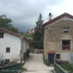
2. View S (point on El Camino ~20 m after entering community) towards NW facing wall of old stone building – Ilarratz – Day 3 (20090525-02-00280-1.jpg, 8:59 AM) (42°54’40” N 1°31’3″ W) Click to view on map.
3. View NNW (point on El Camino at center of community) towards SW facing front & terrace of home – Ilarratz – Day 3 (20090525-03-00281-1.jpg, 9:10 AM) (42°54’40” N 1°31’2″ W) Click to view on map.
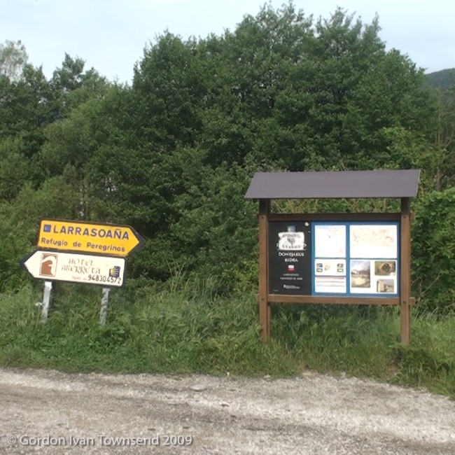
4. View W from gravel road (El Camino) towards signage at entrance to city – Larrasoaña – Day 3 (20090525-04-00284-1.jpg, 9:52 AM) (42°54’2″ N 1°32’26” W) Click to view on map.
5. View N from NA-8204 towards stone-arch bridge (River Arga) – Larrasoaña – Day 3 (20090525-05-00285-1.jpg, 9:54 AM) (42°54’3″ N 1°32’26” W) Click to view on map.
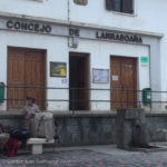
6. View NW from N end of stone-arch bridge towards information signage – Larrasoaña – Day 3 (20090525-06-00288-1.jpg, 9:56 AM) (42°54’5″ N 1°32’26” W) Click to view on map.
7. View S from Calle San Nicolás towards NNW facing front of Albergue Municipal – Larrasoaña – Day 3 (20090525-07-00296-1.jpg, 10:03 AM) (42°54’5″ N 1°32’31” W) Click to view on map.
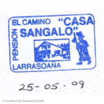
8. Pilgrim’s Stamp: “EL CAMINO – PENSION – ‘CASA SANGALO’ – LARRASOAÑA” – Larrasoaña – Day 3 (20090525-08-PS-4.jpg, 10:10 AM) (42°54’1″ N 1°32’39” W) Click to view on map.
9. View SE (point at NW corner of Café-Bar) towards sign above door of Casa Sangalo – Larrasoaña – Day 3 (20090525-09-00299-4-Pano.jpg, 11:32 AM) (42°54’2″ N 1°32’40” W) Click to view on map.
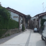
10. View ENE along Calle San Nicolás towards center of community – Larrasoaña – Day 3 (20090525-10-00300-1.jpg, 11:49 AM) (42°54’3″ N 1°32’36” W) Click to view on map.
11. View down to large slug in front of left boot – on rural path (El Camino) ~1400 m past Akerreta – Day 3 (20090525-11-00301-1.jpg, 12:26 PM) (42°53’24” N 1°33’20” W) Click to view on map.
12. View WNW across utility bridge towards center of community – Zuriáin – Day 3 (20090525-12-00304-1.jpg, 12:56 PM) (42°52’43” N 1°33’56” W) Click to view on map.
13. View NNE back along & diagonally across N-135 (El Camino) to city limit sign – Zuriáin – Day 3 (20090525-13-DSC00019.jpg, 12:59 PM) (42°52’40” N 1°34’0″ W) Click to view on map.
14. View SSE from N-135 (El Camino) towards approaching storm – way-marker indicates L turn onto NA-2339 – Day 3 (20090525-14-00305-1.jpg, 1:09 PM) (42°52’25” N 1°34’9″ W) Click to view on map.
15. View WNW from path (El Camino) diagonally across PA-30 towards Arre – Day 3 (20090525-15-00308-1.jpg, 3:24 PM) (42°50’18” N 1°35’55” W) Click to view on map.
16. View SSW from path (El Camino) towards center of stone-arch bridge at Trinidad de Arre (River Ulzama) – Day 3 (20090525-16-00310-1-Pano.jpg, 3:34 PM) (42°50’10” N 1°36’12” W) Click to view on map.
17. View WNW from center of stone-arch bridge (El Camino) towards Trinidad de Arre Albergue-Basílica – Villava – Day 3 (20090525-17-00311-1.jpg, 3:37 PM) (42°50’10” N 1°36’14” W) Click to view on map.
18. View SW from center of stone-arch bridge at Trinidad de Arre across mill-works towards Calle Mayor – Villava – Day 3 (20090525-18-00312-1.jpg, 3:38 PM) (42°50’10” N 1°36’14” W) Click to view on map.
19. View SSW along Calle Mayor (El Camino) – Villava – Day 3 (20090525-19-00313-1.jpg, 3:49 PM) (42°50’7″ N 1°36’17” W) Click to view on map.
20. View SW along Calle Mayor (El Camino) towards hand-painted yellow-arrow way- marker (on pole) – Villava – Day 3 (20090525-20-DSC00025.jpg, 4:17 PM) (42°49’52” N 1°36’31” W) Click to view on map.
21. View SW along Calle Mayor (El Camino) towards hand-painted yellow-arrow way- marker (on manhole cover) – Villava – Day 3 (20090525-21-DSC00026.jpg, 4:17 PM) (42°49’52” N 1°36’31” W) Click to view on map.
22. View SW diagonally across intersection of Calle Mayor (El Camino) & Calle San Andres Kalea towards tile way-marker (on side of building) – Villava – Day 3 (20090525-22- DSC00027.jpg, 4:18 AM) (42°49’52” N 1°36’32” W) Click to view on map.
23. View SW from sidewalk at corner of Calle Mayor (El Camino) across Calle San Andres Kalea towards hand-painted yellow-arrow way-marker – Villava – Day 3 (20090525-23- DSC00030.jpg, 4:19 PM) (42°49’51” N 1°36’31” W) Click to view on map.
24. View WSW from sidewalk along Av. Serapio Huici (El Camino) towards center of 1st rotonda – Villava – Day 3 (20090525-24-00315-1.jpg, 4:26 PM) (42°49’48” N 1°36’37” W) Click to view on map.
25. View SW from sidewalk along Av. Serapio Huici (El Camino) down towards professionally painted way-marker (on sidewalk) – Villava – Day 3 (20090525-25- DSC00031.jpg, 4:31 PM) (42°49’42” N 1°36’45” W) Click to view on map.
26. View SW from sidewalk along Av. Serapio Huici (El Camino) down towards hand-painted yellow-arrow way-marker (on sidewalk at cross-walk) – Villava – Day 3 (20090525-26- DSC00032.jpg, 4:32 PM) (42°49’41” N 1°36’45” W) Click to view on map.
27. View WSW from sidewalk along Calle Mayor (El Camino) towards professionally painted yellow-arrow way-marker (on back of sign) & center of 3rd rotonda – Burlada – Day 3 (20090525-27-DSC00033.jpg, 4:47 PM) (42°49’24” N 1°37’9″ W) Click to view on map.
28. View NE from sidewalk along Calle Larrainzar (El Camino) towards students driving peddle-powered vehicles – Burlada – Day 3 (20090525-28-00316-1.jpg, 4:53 PM) (42°49’24” N 1°37’13” W) Click to view on map.
29. View WSW from sidewalk (El Camino) across Calle Bizkarmendia towards formal signage way-marker – Burlada – Day 3 (20090525-29-DSC00039.jpg, 4:57 PM) (42°49’23” N 1°37’17” W) Click to view on map.
30. View NW from sidewalk (El Camino) on East bank of River Arga towards center of Puente de la Magdelena – Pamplona – Day 3 (20090525-30-DSC00041.jpg, 5:26 PM) (42°49’15” N 1°38’15” W) Click to view on map.
31. View SSE from sidewalk along Calle Playa de Caparroso towards NW corner of Albergue Casa Paderborn – Pamplona – Day 3 (20090525-31-DSC00043.jpg, 5:38 PM) (42°49’7″ N 1°38’15” W) Click to view on map.
32. Pilgrim’s Stamp: “FREUNDESKREIS DER JAKOBUSPILGER – PADERBORN e.V. – Casa Paderborn – Pamplona” – Pamplona – Day 3 (20090525-00-PS-5.jpg, ~5:45 PM) (42°49’6″ N 1°38’14” W) Click to view on map.
