JOURNEY TO THE HEART OF MY TRUTH – EL CAMINO DE SANTIAGO 2009
Day 4, Tuesday, 26 May 2009, Pamplona to Obanos, Spain
Spiritual In-sight:
The price of speed is always a loss of detail, and a sacrifice of presence. Our spirit reminds us when we’ve disconnected for too long; at first in subtle ways, and later with less-and-less finesse.
| Click here for Day 4 Photo Gallery |
|---|
~6:00 AM – Lights on – Awake in Casa Paderborn (Private Albergue)
The German girl gives me a stern look this morning as I’m organizing my things at my bunk. Neither she nor I rested well last night. I load my pack, finish up, and descend the stairs to breakfast; it’s another new day on El Camino.
~7:00 AM – Breakfast at Casa Paderborn (Private Albergue)
View E from C/ Playa de Caparroso (E side) towards sign at front door of Casa Paderborn – Pamplona – Day 4
View ESE from C/ Playa de Caparroso (W side) towards WSW facing front of Casa Paderborn – Pamplona – Day 4
Breakfast (paid at registration): white toast with butter & 2 kinds of jam or spreadable soft-cheese + coffee + milk for coffee.
I visit some with the Hospitalero at breakfast. He tells me they have a scale for weighing packs, and recommends I use it.
~7:30 AM – Finish Breakfast & Weigh Pack
The scale is in the foyer, next to the area for storing walking-poles and boots. My pack weighs exactly 12.00 kg (26.46 pounds) with my water bottle and hydration bladder empty, and not including my camera.
~7:40 AM – Exit Casa Paderborn (Private Albergue)
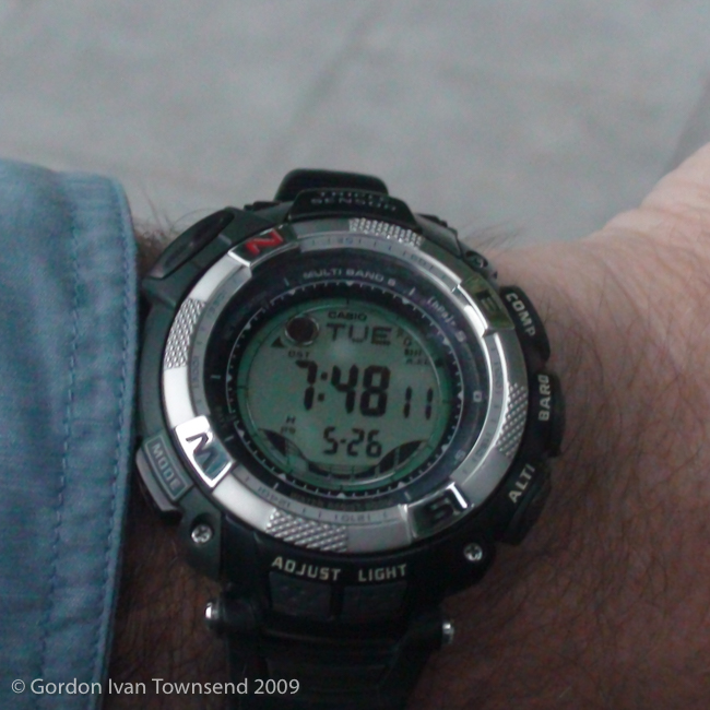
I exit the Albergue, take a few photos (including one of my wrist-watch), and shoot some video in front.
~7:50 AM – Depart Casa Paderborn (Private Albergue), Playa de Caparroso No. 6, Pamplona

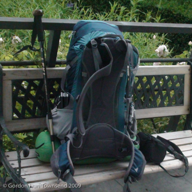
View SE from C/ Playa de Caparroso (E side) towards pack on bench in front Casa Paderborn’s garden – Pamplona – Day 4
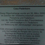
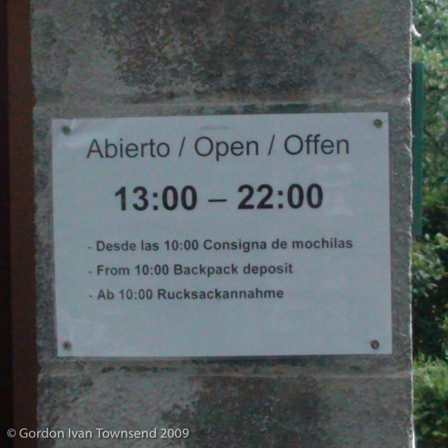
View ENE from C/ Playa de Caparroso (E side) towards sign at front door of Casa Paderborn – Pamplona – Day 4
I walk north along Calle Playa de Caparroso towards Puente de la Magdalena, where I rejoin the way-marked path of El Camino. I cross Calle Vergel, follow a curved path around the fortifications, and enter Pamplona’s walled old-town over a draw-bridge. Just past the draw-bridge, I turn left and pass through a fortified entrance at El Portal de Francia (literally “The Gate of France”).
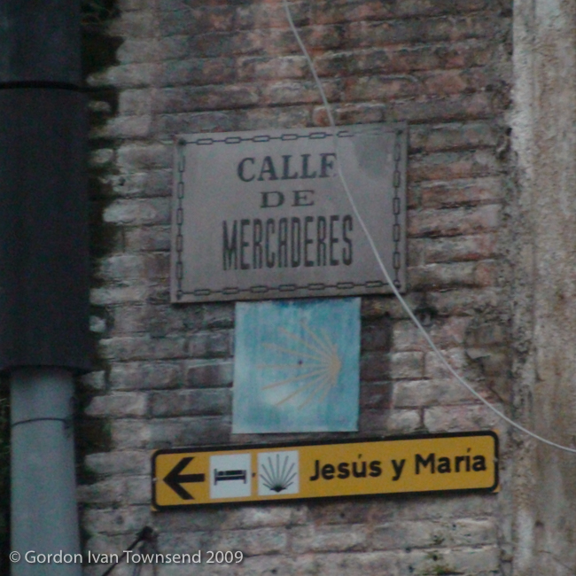
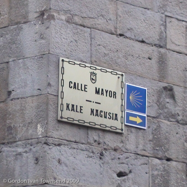
I follow way-markers through the bustling city-center: first south on Calle Carmen, continuing straight on Calle Navarrería (literally “Resident of Navarra”), right on Calle Mercaderes (literally “Merchants”), cross Plaza Consistorial (literally “Town Square”), right on Calle de San Saturnino (the patron Saint of Pamplona), slight left onto Calle Mayor, pass Capilla de San Fermin (on left), and exit city-center straight onto Calle Bosquecillo (literally “Grove”) headed southwest. Calle Bosquecillo passes between Parque de la Taconera (literally “Park of the Woman-Wearing-Heals” in Spanish — originally from Basque, Takonera, so unsure of its exact etymology) on the right, and Parque Bosquecillo on the left.
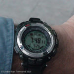
View SW down to wrist-watch – E side of C/ Playa de Caparroso at front door of Casa Paderborn (time = 7:48:11) – Pamplona – Day 4

View NNE from C/ Playa de Caparroso (E side) towards me in front of Casa Paderborn – Pamplona – Day 4
I follow Calle Bosquecillo to Av. de Pío XII (literally “Pope Pius XII”), cross the street and follow it only one block. As soon as I reach Av. de Pío XII, I notice wind-turbines on a ridge-line southwest of town. I use the zoom on my camera to take a few photos between the tall trees and buildings.
From Av. de Pío XII, I cross Av. Ejército (literally “Army”), and enter the gardens surrounding La Ciudadela (literally “The Fortress”). I exit the gardens by crossing Calle Vuelta del Castillo (literally “Circle the Castle”), onto Calle Fuente del Hierro (literally “Fountain of Iron”). I follow Calle Fuente del Hierro southwesterly out of the City.
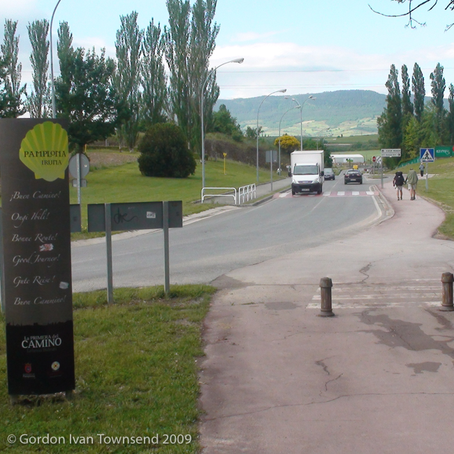
After passing under an overpass (Av. de Navarra), I’m on Calle Universidad (literally “University”), and in the midst of the Universidad de Navarra (literally “University of Navarra”). I cross the River Sadar using a small stone-arch bridge in a park area along the River. I pass a metal sign for Pamplona, bidding me Buen Camino in Spanish as well as 4 other languages. I’m finally leaving this busy city.
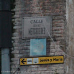
View ESE from end of C/ Navarrería towards street sign for C/ Mercaderes, faded way-marker & sign to Albergue Jesús y María – Pamplona – Day 4
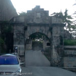
View W from C/ Playa de Caparroso (S side) towards draw-bridge at El Portal de Francia – Pamplona – Day 4
~9:15 AM – Depart Pamplona
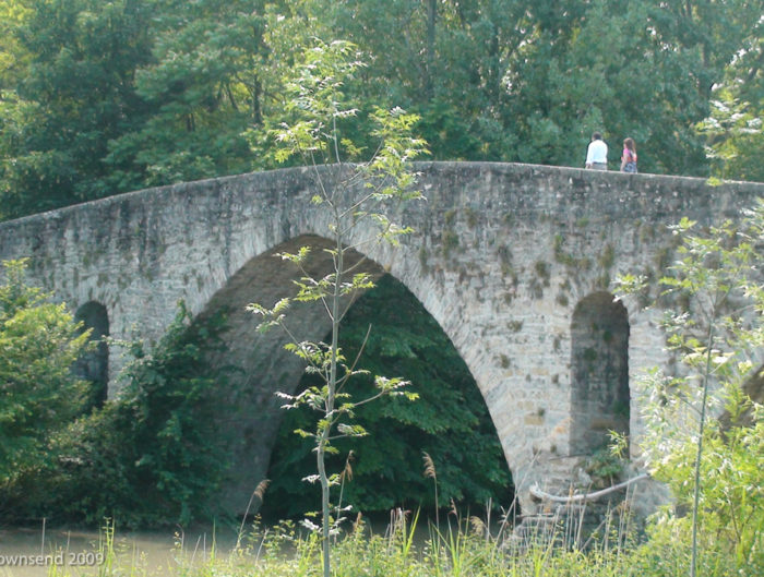
I cross the River Elortz on a stone-arch bridge along right edge of main road, cross the railroad, and pass Colegio Mayor Santa Clara (a Catholic Women’s University, affiliated with the University of Navarra). Cizur Menor is visible ahead in the distance, just past the bridge over A-15.
~9:35 AM – Enter Cizur Menor
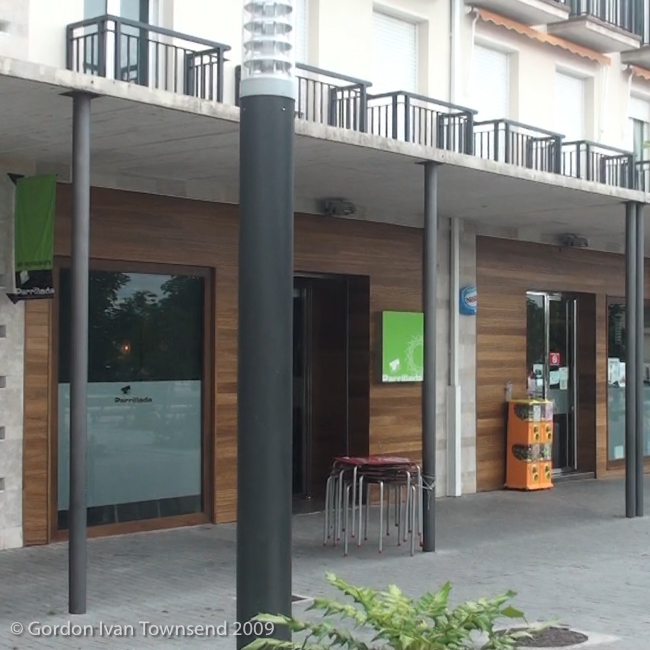
I approach a park area, and see a sign advertising La Parrillada (literally “The Grill”). I walk ~240 m off the way-marked El Camino to reach the Restaurant.
~10:10 AM – Brunch at Restaurant La Parrillada, Plaza Baltxarran No. 2, Cizur Menor
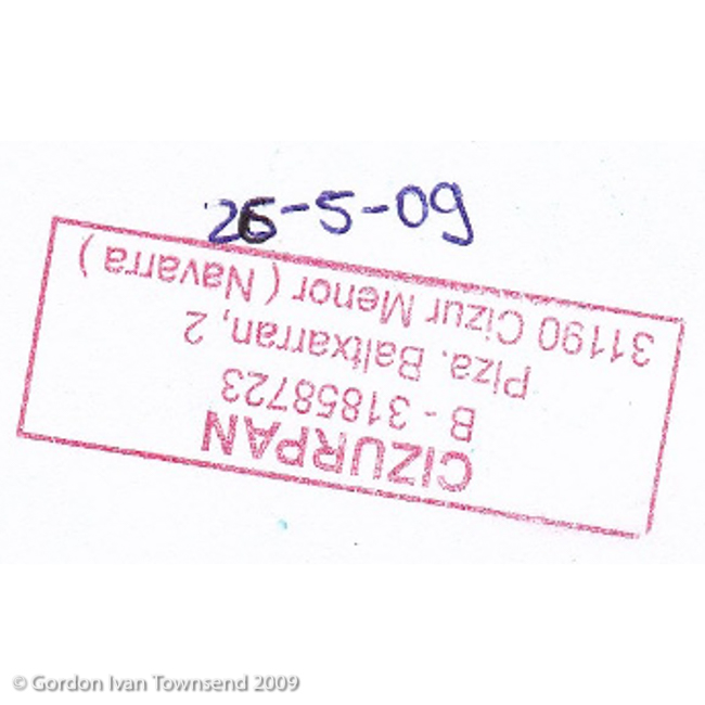
I order Brunch, and they stamp my Pilgrim’s Passport.
Brunch: tortilla española + café con leche.
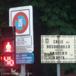
View S from C/ Mayor (at intersection with C/ San Lorenzo) towards street sign on N corner of Parque Bosquecillo – Pamplona – Day 4

View S from C/ Mayor (at intersection with C/ San Lorenzo) towards street sign on N corner of Capilla de San Fermin – Pamplona – Day 4
Cost (brunch) = €2.75
~10:30 AM – Sit & Write in Journal, Restaurant La Parrillada
I record 2 pages of details about my accommodations last night, my experience with the German girl, the evening meal last night, and brunch today.
~11:05 AM – Depart Restaurant La Parrillada
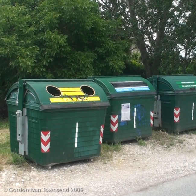
I return to the way-markers, cross the park area, and depart Cizur Menor. I cross a field, and pass along the southeastern edge of Zizur Mayor. In Zizur Mayor, I encounter a line of 3 green recycling dumpsters. Recycling is important even in this small suburb.
~11:25 AM – Depart Zizur Mayor

View S from stone-arch bridge over River Sadar towards El Camino ahead & sign (on L): “Buen Camino” – Pamplona – Day 4
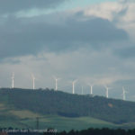
View SW from intersection of C/ Fuente del Hierro & C/ Pedro I (at E corner) towards wind-turbines on ridge-line WNW of Alto de Perdón – Pamplona – Day 4
I’m almost exclusively on gravel paths now as I continue southwesterly across the rural countryside. I stop frequently to rest my back.
~1:10 PM – Enter Zariquiegui
I rest on a bench at the far end of the church. I don’t see or hear a single person in this quiet community.
~1:40 PM – Depart Zariquiegui
~2:10 PM – Arrive Alto de Perdón
Note: Alto de Perdón = Height (or high place) of Forgiveness
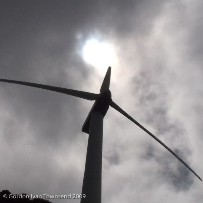
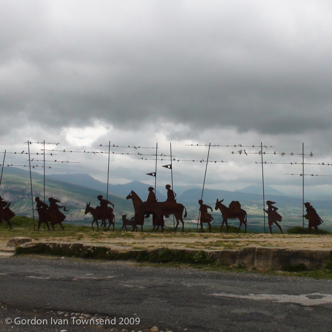
I take a lot of photos on Alto de Perdón: the iron sculpture, the wind-turbines (both north & south), and the valleys (both east & west). I shoot a short video of the wind-turbine just above my head as its blades cut the air (swoosh-swoosh) and the generator-unit hums. I’m impressed by its size; this is the closest I’ve ever been to one of these monsters. I shoot one short video of my path westward just before I depart.
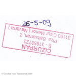
Pilgrim’s Stamp: “CIZURPAN – Plza. Baltxarran No. 2 – 31190 Cizur Menor (Navarra)” – Cizur Menor – Day 4
~2:25 PM – Depart Alto de Perdón
The gravel path is lonely as I continue southwesterly into the valley.
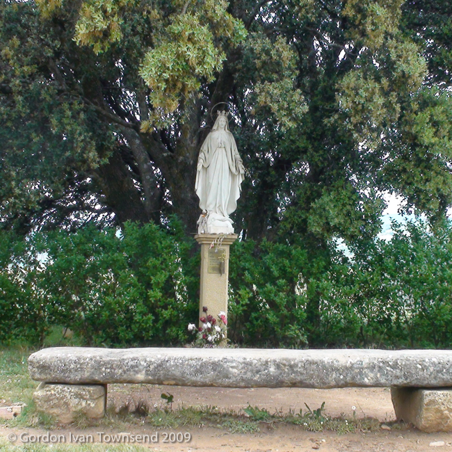
~3:35 PM – Pass Stone Bench & Statue of Virgen
I stop just long enough to take a photo at the statue and bench, then continue ~350 m to city-limit of Uterga.
~3:40 PM – Enter Uterga
I transition from gravel road to paved street, and pass city-limit sign.
~3:45 PM – Arrive Town Hall, Calle Mayor No. 18, Uterga
I stop to rest, and purchase a soft drink from a machine on east side of the Town Hall.
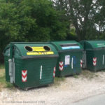
View N from C/ Camino de Santiago (S side) towards recycling dumpsters on SE edge of city – Zizur Mayor – Day 4
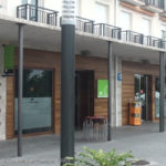
View SE from plaza at front of Rest. La Parrillada towards its WNW facing entrance – Cizur Menor – Day 4
Beverage: carbonated soft drink (Coca Cola, 500 ml bottle).
Cost (beverage) = €1.20
~3:55 PM – Man & Woman Pass
As I rest, a woman speeds past with a man following ~50 steps behind. He seems excited to see a fellow countryman (Americans are rare on El Camino), and stops a moment to chat.
He downloads a lot of information rapidly. He’s currently living in Finland, but originally from the US, and in a committed relationship with the lady that just passed. He’s on his second day out of St. Jean, and plans to walk to Puente la Reyna today. He declares his determination to reach Santiago as soon as possible, and then he’s off.
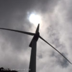
View SSW from path (El Camino) up to generator unit & blades of wind-turbine – Alto de Perdón – Day 4
He arrived in a flash, stopped briefly to share his story, and now he’s gone. Except for that man and his lady, I don’t see or hear another living soul in Uterga. It all feels a bit spooky.
~4:10 PM – Depart Uterga
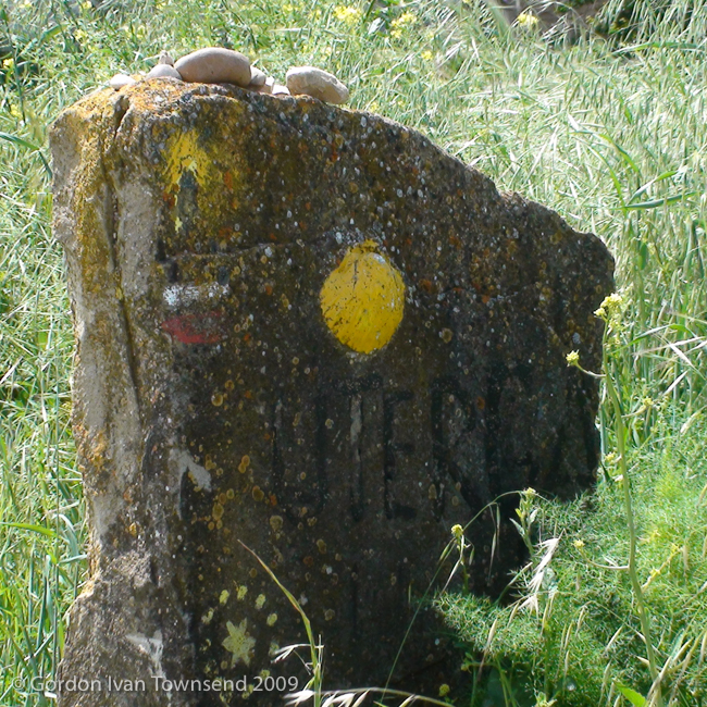
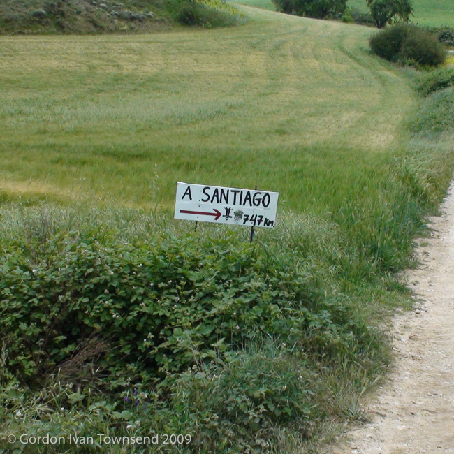
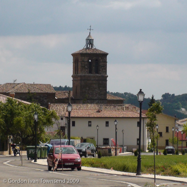
I transition from paved street onto gravel road, and travel ~210 m past city-limit of Uterga, I cross the Barranco del Camino de Adiós, and turn right at handmade sign indicating Santiago is now only 747 km. I follow the narrow path through the countryside. The bell-tower at Iglesia de San Esteban (literally “Church of Saint Stephen”) and a few rooftops of Muruzábal are visible in the distance.
Note: My book-of-maps indicates distance from Uterga to Santiago is ~703 km; NOT 747 km as the handmade sign suggests. I guess this is an estimate based on highway distance (a common error on El Camino), not trail distance (more direct route, so slightly less).
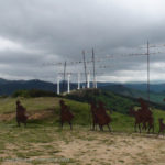
View WNW from path (El Camino) towards sculpture & wind-turbines along ridge-line – Alto de Perdón – Day 4
~4:35 PM – Enter Muruzábal
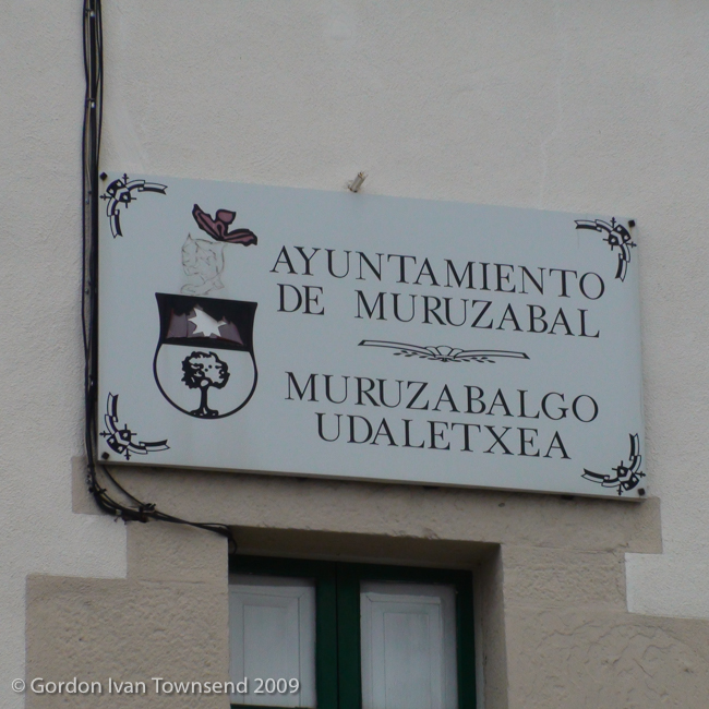
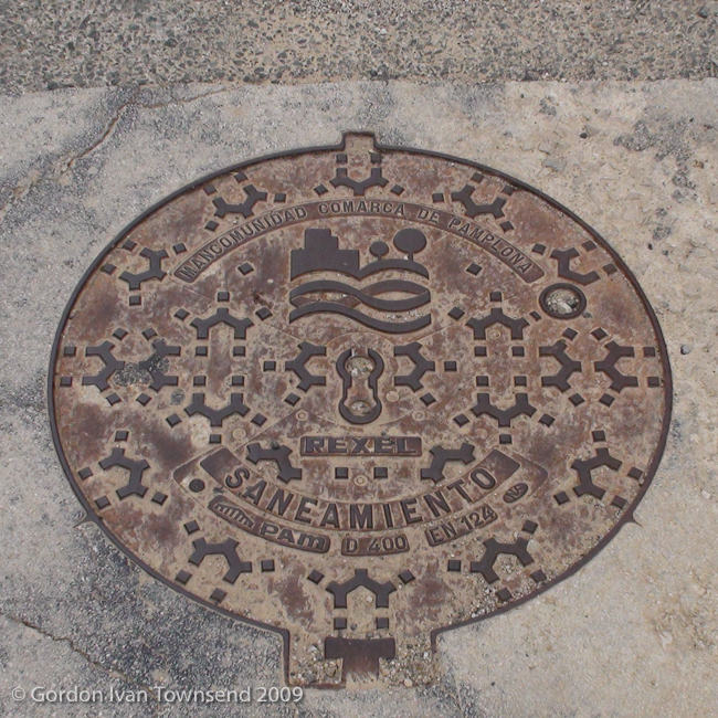
I enter on Calle San Bartolomé, and take a photo of the bell-tower at Iglesia de San Esteban. I transition onto NA-6062, and walk towards the center of town. I pass its Town Hall (now under renovation), and take a few photos. I notice an ornate manhole cover, and take a photo.
Note (Manhole Cover Inscriptions): MANCOMUNIDAD COMARCA DE PAMPLONA = COMMONWEALTH REGION OF PAMPLONA, SANEAMIENTO = SANITATION, REXEL indicates the model, PAM references Saint-Gobain PAM (the manufacturer), D400 is its class of service (classification), EN124 indicates conformity with that European Product Standard, and NF indicates Quality Certification by AFNOR. Interesting stuff, at least to me!
~4:50 PM – Depart Muruzábal
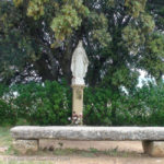
View WNW from path (El Camino) towards Stone Bench & Statue of Virgen ~350 m before city-limit of Uterga – Day 4
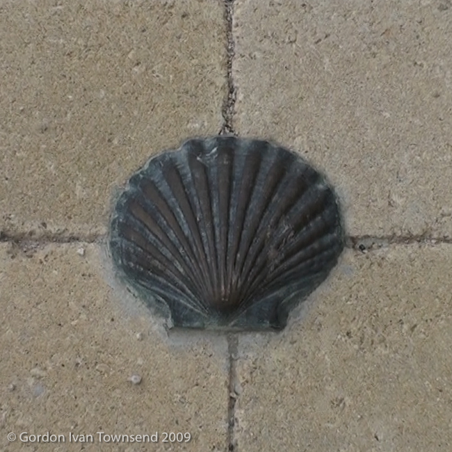
I follow NA-6062 out of the community. At the city-limit sign, way-markers indicate a right turn onto a narrow rural path. I see Obanos, my destination, across the valley in the distance. I descend to a tunnel under NA-601, pass through, and ascend towards Obanos. At the entrance to Obanos, the path transitions to a brick-paved street with brass way-markers along its center-line.
~5:05 PM – Enter Obanos
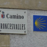
I enter on Camino Roncesvalles and follow the way-markers. I turn left at Calle San Juan, walk 1 block, turn right, walk 1 block, and turn left again, now walking along Calle San Larenzo.
~5:15 PM – Arrive Private Albergue, Calle San Larenzo No. 6, Obanos
I encounter the Private Albergue at the intersection of Calle San Larenzo & Calle San Ignacio. I hesitate while reconsidering my experience last night with the German girl in Pamplona, and a similar experience with Scot in Paris. Also, I’m growing weary of life in albergues.
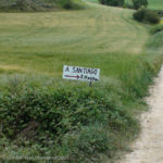
View SE from path (El Camino) towards handmade sign: “A Santiago 747 km” ~210 m past city-limit of Uterga – Day 4
I stand outside the door of the Albergue and think. I see the empty boots neatly stored just inside. After a long while, I decide not to enter, and instead walk southeast along Calle San Ignacio. Do I return to the Albergue, or do I seek an alternate that’s sure to be more private and more comfortable? I rationalize and question my thoughts while walking a large circle through the city. I’m in sensory overload as I weigh the various options. I’m also tired, so my thoughts feel sluggish.
Finally, the monkey-chatter subsides, I choose to avoid the Albergue, and focus on finding alternate accommodations. Soon, I pass the Rural Hostal Mamerto, on Calle San Larenzo, just 2 blocks north of the Albergue. I’ve made a complete circle — I passed this exact location on my way into town.
~6:00 PM – Arrive Rural Hostal Mamerto, Calle San Larenzo No. 13, Obanos
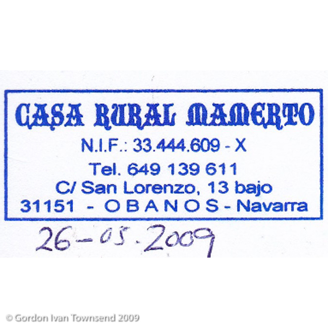
I register and check into Room #1, a private room with private bath. They stamp my Pilgrim’s Passport. The room is nicely decorated with comfortable bed, nice window, small TV, and antique-looking wash- basin. I’m sure it’s more for decoration than practical use.
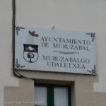
View NW from NA-6062 (El Camino) up towards sign above door on SE facing front of Town Hall – Muruzábal – Day 4
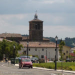
View SW from C/ San Bartolomé (El Camino) towards bell-tower of Iglesia de San Esteban – Muruzábal – Day 4
Cost (room) = €25.00
The shower operation is a surprise since I’ve never seen anything like it; first the hot-cold-blend-ratio is preset with the right knob, and then the left knob is turned to regulate flow at the shower head. The mid-range temperature I preset with the right knob is a little cooler than I prefer, so a slight tweak produces an expertly blended water, of perfect temperature.
~6:50 PM – Depart Rural Hostal Mamerto, Room #1
I’m not sure how I find the Bar-Restaurante Centro San Guillermo. I’m just wandering.
~7:00 PM – Dinner at Bar-Restaurante Centro San Guillermo, Plaza San Guillermo, No.1
The restaurante is inconspicuous except for a simple sign to the left of the door. It’s inscribed with the single word, BAR, in large sculptured letters. The doorway is open except for an opaque plastic strip-curtain to guard the entrance. A bit of finesse is required to navigate this simple obstacle. I’ve never known how to part these plastic strips, and slip through the curtain, without feeling hopelessly entangled. I enter the cool, dark space within, hesitate as my eyes adjust to the low light, and choose a table at the back.
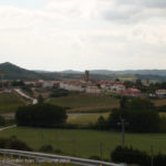
View SW from NA-6062 (at city-limit — exit) towards El Camino (on L) & Obanos in distance – Muruzábal – Day 4
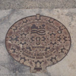
View NE from NA-6062 (El Camino – at intersection with C/ Jardín) down to ornate manhole cover – Muruzábal – Day 4
Note: A strip-curtain has narrow strips of plastic hung side-by-side, sometimes slightly overlapping, as a weather-barrier and/or insect-barrier. The plastic can be transparent, colored or opaque.
The Pilgrim’s menu is mostly meat, so the cheerful waitress scurries off to consult the cook. She returns quickly with a few vegetarian options. After I agree to their suitability, she’s off again, and soon returns with ALL the choices, not just 1 or 2 as I’d expected. It’s an abundant meal that’s custom designed just for me.
Dinner (special-vegetarian pilgrim’s menu): mixed salad + baguette + tortilla francesa (AKA omelet) with American cheese + asparagus + french fries + red wine.
Cost (dinner) = €9.00
I finish dinner, and purchase a small bottled water to go.
Beverage: small bottled water (plastic, 355 ml).
Cost (beverage) = €1.00
~7:45 PM – Depart Bar-Restaurante Centro San Guillermo
~7:50 PM – Enter Rural Hostal Mamerto, Room #1
It only takes a few minutes to walk from the Restaurant to my room at the Hostal. I’m exhausted, so go directly to bed without washing clothes. I have a clean set for the morning, and vow to wash both sets the next night.
~8:00 PM – Lights-out
Hasta mañana (literally “until tomorrow”).
Life Lessons, Camino Angels & Spiritual Hind-sight
(Day 1827, 23 May 2014, Copperas Cove, TX):
LL4.1 Day 4 – Life Lesson #1
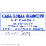
Pilgrim’s Stamp: “CASA RURAL MAMERTO – Tel. 649 139 611 – C/ San Lorenzo, 13 bajo – 31151 – OBANOS – Navarra” – Obanos – Day 4

View NW from C/ San Juan (El Camino – at intersection with C/ Camino Roncesvalles) towards street sign – Obanos – Day 4
At ~7:30 AM, I put my pack on the scale, and discovered it weighed exactly 12.00 kg (26.46 pounds) with my water bottle and hydration-bladder empty, and not including my camera.
A full water bottle, technically 700 ml, but practically 650 ml (or 0.65 lt), adds 0.65 kg (1.43 pounds), and the 2 lt hydration-bladder can add 2.00 kg (4.41 pounds) if full. The camera, its protective holster, two extra batteries and the comfort strap weighs 1.09 kg (2.40 pounds). The total weight of my pack, filled water bottle, empty hydration- bladder, and camera was 13.74 kg (30.29 pounds). Fortunately, the clothes I wear and my boots are something my body is accustomed to carrying, and not part of this calculation.
Note: In the metric system, 1 lt of water weighs 1 kg. It makes conversions fast and easy. As an engineer, however, I must add that this conversion is ONLY exact at standard temperature and pressure (a universal reference), but for most uses it’s close enough.
Normally, I did not fill the hydration-bladder because most sections of El Camino are doted with small communities at regular intervals, and I assumed that most if not all had public fountains. However, on the meseta, there were long sections with few communities, and few public fountains shown on my maps. For this reason, the hydration-bladder was included on my list of essentials.
Most Camino guides recommend that pack weight never exceed 15% of body weight with a preference closer to 10% or less. With a starting body weight of 95.3 kg (210 pounds), an ideal weight-range for my pack (10-15% of body weight) was 9.53-14.3 kg (21.0-31.5 pounds). At 13.74 kg (30.29 pounds), my pack’s weight was 14.4% of my body weight, and at the top of the ideal range.
Thinking back, I could have eliminated a few extra pounds, and probably should have done so, but it just didn’t seem possible at the moment. Fortunately, I managed to carry everything I brought all the way across Spain without suffering too much or regretting my choice.
LL4.2 Day 4 – Life Lesson #2
At 7:48:11 AM (Precisely), I took a photo of the face of my wrist-watch. I’m not sure why I did that, but I discovered an important habit I plan to repeat. I trust the time on my watch because I reset it immediately upon arrival at a new time zone. However, I don’t always trust the time on my camera (and consequently the date & time recorded within the meta-data of my photos or video) because I almost always forget to reset it when traveling. Sometimes, I mess it up by improperly setting daylight saving time.
Also, this particular watch has an atomic clock feature that updates and resets itself automatically (barring reception issues due to interference) at midnight each night. The European transmitter is located in Mainflingen, about 25 km southeast of Frankfurt am Main, Germany. It didn’t reset every night on El Camino, but almost.
A single photo of my wrist-watch can be a life-saver if I need to resolve any discrepancy between the actual time and date when the photo was taken, and the time and date assigned by the camera.
LL4.3 Day 4 – Life Lesson #3
At ~3:55 PM, the couple in Uterga passed me. They were covering more than twice as much distance each day as I was. In other words, the distance I planned to complete that day, the end of my Day 4 (in Obanos), was slightly less (2.5 km less) than the distance they planned to complete that day, the end of their Day 2 (in Puente la Reina).
At their current average speed, ~46 km per day, they would reach Santiago in 15 days. Could they maintain that pace, and avoid injury? I certainly appreciated their enthusiasm, but wondered why they treated it like a race for their lives with little concern for anything else. Also, his pack looked heavy, and I wondered if he was carrying some of her load too.
It’s all great if speed is the goal, but what’s the true cost? Why would anyone forsake the moments to focus on the finish-line? Why would anyone invest so much (time, money, etc., etc.) to TRAVEL there without also choosing to BE there?
LL4.4 Day 4 – Life Lesson #4
At ~5:15 PM, I stood outside the Albergue in Obanos and hesitated. I walked away and eventually decided to seek alternate accommodations for the night. This represented a significant shift in strategy for walking and experiencing My Camino.
I was still thinking about my experience with the German girl last night, and Scot in Paris. Neither slept well as a result of my snoring.
At ~ 9:50 PM yesterday (Day 3 — 25 May 2009), as the German girl said, “Oh, a Man,” I started to feel a strange mix of emotions in the pit of my stomach. It would have felt eerily appropriate to hear the theme song from Psycho or Jaws to start playing in the background. I kept shrugging off the feelings, avoiding the truth of the matter, and focusing on production. At that moment, production meant getting my things in order, packing the dry clothes I had washed earlier, and getting myself to bed.
I didn’t know what it all meant, but I did know I was in for a deep lesson of feel-the-feelings. Sometimes, I’m certain that our life’s purpose is to feel-the-feelings, as fully as possible, until there’s nothing more to feel.
| DAY 4 STATISTICS |
|---|
| TUESDAY, 26 MAY 2009 PAMPLONA TO OBANOS, SPAIN Total Distance Walked (with Backpack) = 14.64 Miles (23.56 km) (31,633 steps) Start Point = Casa Paderborn (Private Albergue), Pamplona Start Time = ~7:50 AM End Point = Rural Hostal Mamerto, Obanos, Room #1 End Time = ~6:00 PM Total Travel Time (including breaks) = 10.17 hrs (10 hrs & 10 mins) Average Daily Stride = 29.32 inches (74.48 cm) Average Daily Speed (including breaks) = 1.44 MPH (2.32 KPH) Key Landmarks = Pamplona, Cizur Menor, Zizur Mayor, Zariquiegui, Alto de Perdón, Uterga, Muruzábal, Obanos Total Daily Expenses = €38.95 |
Photo Credits:
1. View ESE from C/ Playa de Caparroso (W side) towards WSW facing front of Casa Paderborn – Pamplona – Day 4 (20090526-01-DSC00046.jpg, 7:43 AM) (42°49’7″ N 1°38’15” W) Click to view on map.
2. View E from C/ Playa de Caparroso (E side) towards sign at front door of Casa Paderborn – Pamplona – Day 4 (20090526-02-DSC00047.jpg, 7:43 AM) (42°49’6″ N 1°38’14” W) Click to view on map.
3. View ENE from C/ Playa de Caparroso (E side) towards sign at front door of Casa Paderborn – Pamplona – Day 4 (20090526-03-DSC00048.jpg, 7:44 AM) (42°49’6″ N 1°38’14” W) Click to view on map.
4. View SE from C/ Playa de Caparroso (E side) towards pack on bench in front Casa Paderborn’s garden – Pamplona – Day 4 (20090526-04-DSC00049.jpg, 7:44 AM) (42°49’6″ N 1°38’14” W) Click to view on map.
5. View NNE from C/ Playa de Caparroso (E side) towards me in front of Casa Paderborn – Pamplona – Day 4 (20090526-05-DSC00054.jpg, 7:45 AM) (42°49’6″ N 1°38’14” W) Click to view on map.
6. View SW down to wrist-watch – E side of C/ Playa de Caparroso at front door of Casa Paderborn (time = 7:48:11) – Pamplona – Day 4 (20090526-06-DSC00060.jpg, 7:48 AM) (42°49’6″ N 1°38’14” W) Click to view on map.
7. View W from C/ Playa de Caparroso (S side) towards draw-bridge at El Portal de Francia – Pamplona – Day 4 (20090526-07-00327-1.jpg, 8:04 AM) (42°49’16” N 1°38’32” W) Click to view on map.
8. View ESE from end of C/ Navarrería towards street sign for C/ Mercaderes, faded way-marker & sign to Albergue Jesús y María – Pamplona – Day 4 (20090526-08-DSC00070.jpg, 8:13 AM) (42°49’8″ N 1°38’34” W) Click to view on map.
9. View S from C/ Mayor (at intersection with C/ San Lorenzo) towards street sign on N corner of Capilla de San Fermin – Pamplona – Day 4 (20090526-09-DSC00076.jpg, 8:24 AM) (42°49’2″ N 1°38’56” W) Click to view on map.
10. View S from C/ Mayor (at intersection with C/ San Lorenzo) towards street sign on N corner of Parque Bosquecillo – Pamplona – Day 4 (20090526-10-DSC00081.jpg, 8:27 AM) (42°49’0″ N 1°38’59” W) Click to view on map.
11. View SW from intersection of C/ Fuente del Hierro & C/ Pedro I (at E corner) towards wind-turbines on ridge-line WNW of Alto de Perdón – Pamplona – Day 4 (20090526-11-DSC00084.jpg, 9:00 AM) (42°48’22” N 1°39’29” W) Click to view on map.
12. View S from stone-arch bridge over River Sadar towards El Camino ahead & sign (on L): “Buen Camino” – Pamplona – Day 4 (20090526-12-DSC00085.jpg, 9:14 AM) (42°48’4″ N 1°39’55” W) Click to view on map.
13. View S from paved-path (on R side of El Camino) towards city-limit sign – Cizur Menor – Day 4 (20090526-13-DSC00089.jpg, 9:36 AM) (42°47’22” N 1°40’31” W) Click to view on map.
14. Pilgrim’s Stamp: “CIZURPAN – Plza. Baltxarran, 2 – 31190 Cizur Menor (Navarra)” – Cizur Menor – Day 4 (20090526-14-PS-6.jpg, ~10:10 AM) (42°47’16” N 1°40’43” W) Click to view on map.
15. View SE from plaza at front of Rest. La Parrillada towards its WNW facing entrance – Cizur Menor – Day 4 (20090526-15-00343-1.jpg, 11:06 AM) (42°47’17” N 1°40’43” W) Click to view on map.
16. View N from C/ Camino de Santiago (S side) towards recycling dumpsters on SE edge of city – Zizur Mayor – Day 4 (20090526-16-00344-1.jpg, 11:22 AM) (42°46’54” N 1°40’59” W) Click to view on map.
17. View WSW from path (El Camino) towards city-limit sign – Zariquiegui – Day 4 (20090526-17-DSC00099.jpg 1:09 PM) (42°44’55” N 1°43’19” W) Click to view on map.
18. View SSW from path (El Camino) up to generator unit & blades of wind-turbine – Alto de Perdón – Day 4 (20090526-18-00350-1.jpg, 2:13 PM) (42°44’10” N 1°44’29” W) Click to view on map.
19. View WNW from path (El Camino) towards sculpture & wind-turbines along ridge-line – Alto de Perdón – Day 4 (20090526-19-DSC00111.jpg, 2:16 PM) (42°44’9″ N 1°44’32” W) Click to view on map.
20. View NNW from NA-6056 (S of rest area) towards sculpture – Alto de Perdón – Day 4 (20090526-20-DSC00114.jpg, 2:17 PM) (42°44’8″ N 1°44’33” W) Click to view on map.
21. View WNW from path (El Camino) towards Stone Bench & Statue of Virgen ~350 m before city-limit of Uterga – Day 4 (20090526-21-DSC00122.jpg, 3:35 PM) (42°42’49” N 1°45’25” W) Click to view on map.
22. View W from street (El Camino) towards monument at city-limit – Uterga – Day 4 (20090526-22-DSC00124.jpg, 3:41 PM) (42°42’39” N 1°45’29” W) Click to view on map.
23. View W from C/ Mayor (El Camino) towards sign on SE facing front of Town Hall – Uterga – Day 4 (20090526-23-DSC00125.jpg, 3:44 PM) (42°42’36” N 1°45’34” W) Click to view on map.
24. View SE from path (El Camino) towards handmade sign: “A Santiago 747 km” ~210 m past city-limit of Uterga – Day 4 (20090526-24-DSC00128.jpg, 4:11 PM) (42°42’20” N 1°45’35” W) Click to view on map.
25. View SW from C/ San Bartolomé (El Camino) towards bell-tower of Iglesia de San Esteban – Muruzábal – Day 4 (20090526-25-DSC00131.jpg, 4:34 PM) (42°41’36” N 1°46’6″ W) Click to view on map.
26. View NW from NA-6062 (El Camino) up towards sign above door on SE facing front of Town Hall – Muruzábal – Day 4 (20090526-26-DSC00141.jpg, 4:45 PM) (42°41’22” N 1°46’17” W) Click to view on map.
27. View NE from NA-6062 (El Camino – at intersection with C/ Jardín) down to ornate manhole cover – Muruzábal – Day 4 (20090526-27-DSC00142.jpg, 4:47 AM) (42°41’19” N 1°46’19” W) Click to view on map.
28. View SW from NA-6062 (at city-limit — exit) towards El Camino (on L) & Obanos in distance – Muruzábal – Day 4 (20090526-28-DSC00145.jpg, 4:50 PM) (42°41’17” N 1°46’21” W) Click to view on map.
29. View SW down to brass way-marker on center-line of brick-paved street (El Camino) – Obanos – Day 4 (20090526-29-00359-1.jpg, 5:05 PM) (42°40’58” N 1°46’48” W) Click to view on map.
30. View S from C/ Camino Roncesvalles (El Camino) towards street sign & way-marker – Obanos – Day 4 (20090526-30-DSC00146.jpg, 5:08 PM) (42°40’52” N 1°46’57” W) Click to view on map.
31. View NW from C/ San Juan (El Camino – at intersection with C/ Camino Roncesvalles) towards street sign – Obanos – Day 4 (20090526-31-DSC00147.jpg, 5:11 PM) (42°40’53” N 1°47’4″ W) Click to view on map.
32. Pilgrim’s Stamp: “CASA RURAL MAMERTO – Tel. 649 139 611 – C/ San Lorenzo, 13 bajo – 31151 – OBANOS – Navarra” – Obanos – Day 4 (20090526-32-PS-7.jpg, ~6:00 PM) (42°40’51” N 1°47’8″ W) Click to view on map.
